


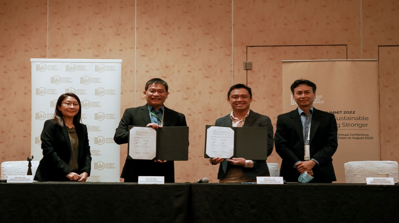
The National Environment Agency (NEA) and the Singapore Land Authority (SLA) have signed a Memorandum of Understanding (MOU) to develop the use of Global Navigation Satellite System (GNSS) data from SLA’s Singapore Satellite Reference Network (SiReNT) to help NEA better monitor island-wide atmospheric moisture. The goal of the five-year partnership is to help Singapore with weather monitoring by giving it more data and making it easier to do exploratory studies for weather forecasting.
“The collaboration between NEA and SLA highlights our commitment to achieve synergies and tap on enablers across the public sector. This partnership provides a platform for NEA to utilise SLA’s expertise in GNSS data collection and processing, enabling NEA to explore non-traditional methods to enhance our weather monitoring and forecasting capabilities,” says Luke Goh, CEO, NEA.
On the other hand, Colin Low, CEO of SLA, said that SLA’s partnership with NEA is a part of its ongoing efforts to collaborate with parties from the public and commercial sectors to open up new applications for SiReNT and its other geospatial products.
The SLA believed combining the knowledge of multiple parties might lead to more innovation and the discovery of workable solutions that could be advantageous to Singapore and the industries.
Colin continued by saying that they are eager to collaborate with NEA to research the unique uses of SiReNT data for improved weather monitoring and research projects on weather forecasting and climate change. The many experiences that were gathered and shared during this partnership will serve as a foundation for upcoming developments in this area.
The production of accurate weather forecasts, climate monitoring, and timely warnings of dangerous weather events all depend on meteorological measurements. The Meteorological Service Singapore (MSS) routinely gathers a variety of observational data from ground-based and aircraft sensors, such as temperature, wind, and moisture.
To measure these weather components at various altitudes of the atmosphere, sensors linked to a weather balloon are routinely launched twice a day at MSS’ Upper Air Observatory (UAO). To enhance the sounding data from the weather balloon, MSS erected a GNSS reference station at UAO in 2019.
This station will provide continuous estimates of moisture in an atmospheric column known as the integrated precipitable water vapour.
In accordance with the MOU, SiReNT will incorporate MSS’s GNSS station, giving MSS access to continuous, almost real-time atmospheric moisture readings for the entire island. By supplying greater resolution and more frequent observation data, this non-conventional moisture data will complement MSS’s current observation network data and enable research into possible uses for weather forecasting.
The partnership will also help SLA’s SiReNT station network, which now consists of nine reference stations dispersed throughout Singapore, grow. The network will grow to 12 stations with more data receivable with the installation of NEA’s GNSS base receiver station at UAO that will be integrated into SiReNT and two anticipated additional coastal SiReNT reference stations. The SiReNT system can create precise positioning data with an accuracy of up to 3 cm and correct positional inaccuracies in GNSS signals.
The SiReNT technology fosters innovation across a range of sectors, including autonomous driving, logistics and automation in the building industry, and monitoring of changes in Singapore’s land height and sea level.
The addition of stations by the end of 2022 will further increase the stability of the services and applications SiReNT now supports in several important industries. It can also be used in novel ways for scientific research on climate change.


