


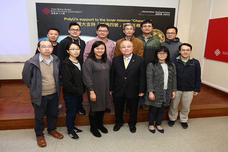
According to a recent press release, The Hong Kong Polytechnic University (PolyU) announced that it proudly supported the nation’s current lunar exploration, Chang’e-4 lunar probe, which successfully performed the historic landing on the far side of the Moon on 3 January 2019.
The following report will cover how the university helped map out a landing site for the probe using the universities state-of-the-art tech and shining talent.
The mission employed PolyU’s advanced technologies, namely the design and development of an advanced Camera Pointing System, and an innovative lunar topographic mapping and geomorphological analysis technique in landing site characterisation for the spacecraft.
This is the world’s first-ever landing on the far side of the Moon – marking an incredible event in the history of the human race. And PolyU had so much to do with it.
Landing site characterisation
For the first lunar mission in the world to land a spacecraft on the far side of the Moon, the selection of a safe landing site with scientific value is of paramount importance.
The Associate Professor of Poly’s Department of Land Surveying and Geo-Informatics and his team have been conducting research, titled “Chang’e-4 Landing Site – Topographic and Geomorphological Characterisation and Analysis” since March 2016.
Funded by the China Academy of Space Technology (CAST), the team amassed a large amount of lunar remote sensing data from multi-sources to create high-precision and high-resolution topographic models for two potential landing regions, one of them is the current Chang’e-4 landing site, the Von Kármán crater inside the South Pole – Aitken basin on the far side of the Moon.
The doctor and his team studied two landing regions for Chang’e-4 mission, each covering an area of about 1,500 square kilometres – 1.4 times of the total area of Hong Kong. They analysed in detail the terrain slopes, terrain occlusions to sun illumination and telecommunication, crater distribution, rock abundance, and geological history of the region. These analyses helped the team to put forward a sound and evidenced-based proposal of possible landing sites.
The team gathered information of more than 400,000 craters and over 20,000 boulders in the candidate landing regions. It had also analysed the terrain surface and calculated the gradient of the slopes to identify relatively flat sites for a safe landing.
Rock abundance of the region had to be considered in detail because boulders can be as large as 35 metres in diameter and can block the way of the rover, whereas small rocks may get into the wheels, hence creating a problem in the rover’s movement.
The doctor noted that the Chang’e-4 landing site was to be on the far side of the Moon, without direct radio communication from Earth. In addition, the terrain surface of the landing region is also very rough with elevation differences up to 16km, which required a nearly perpendicular descent design.
These issues made the mission very challenging, the professor added.
The study in terrain occlusions to sun illumination and telecommunication is particularly important to ensure good illumination conditions to charge the solar panels on the lander and rover so that the onboard scientific sensors can be functional, and ensure good signal reception and data transmission between the control centre on Earth and the lander and rover.
After the successful landing of Chang’e-4 on 3 January 2019, the team worked together with the CAST team to immediately locate the precise location of the lander and analysed the terrain occlusions to sun illumination and telecommunication around the lander for better scheduling of action of the lander and rover.


