


The development of the National Capital City (IKN) of the Archipelago has made the integration of spatial data and non-spatial data very strategic. “We need to push for precise, good spatial data that can be operated to support all development sectors in IKN,” says Muh Aris Marfai, Head of the Geospatial Information Agency (BIG) during the opening of the Regional Geospatial Information Network Coordination Meeting for Regency/City in East Kalimantan.
He added that the development of the Geospatial Information (GI) system in East Kalimantan is becoming increasingly important in line with the development of the IKN. Thus, a Regional Geospatial Information Network Coordination Meetings were held to enhance the role of local governments in the construction of network nodes. In addition, it is also an initial assessment of the condition of the regional network nodes.
The network node assessment includes five pillars such as regulations and policies; institutional; human resources; technology; standards for geospatial data and information. The government is looking for solutions for those who convey problems and obstacles related to the construction of their respective regional network nodes.
Currently, there are only two cities in East Kalimantan that have not been integrated into the Regional Geospatial Information Network (JIGD). The two areas in question are Paser Regency and West Kutai.
One of the important factors in the development of the capital city is the availability of data. The government hopes that Paser and West Kutai Regencies will soon build JIGD. The data in JIGD will later be integrated with statistical and financial data which is being pursued together as the One Data Indonesia (SDI) programme, hence the support of the local government to improve the operationalisation of the functions of the Regional Apparatus Organisation (OPD) of network nodes is very important. This is necessary to integrate and synchronise Thematic Geospatial Information (IGT), as well as resolve various spatial problems and conflicts.
Regulations and policies are also very important in realising the strengthening of regional network nodes. Coordination between stakeholders, academia, the private sector, and government partners must run synergistically so that the sharing of spatial data through network nodes can be carried out optimally.
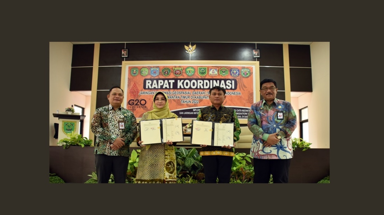
Meanwhile, the nation’s Geospatial Information Agency recently signed an agreement with the Regent of Berau Sri Juniarsih Mas. The collaboration is for organising, developing and utilising Geospatial Data and Information in Berau.
Aris explained that Presidential Regulation Number 27 of 2014 concerning the National Geospatial Information Network (JIGN) regulates the need for the establishment of network nodes. Therefore, each region is obliged to organise a JIGD. Currently, there is the construction of the National Capital City of the Archipelago, so the integration of spatial and non-spatial data in the East Kalimantan region is very strategic.
The collaboration with BIG is an effort to foster the implementation of government affairs related to land use and development investment. The government hopes that the existing Geospatial Data and Information will be able to assist the decision-making process in the planning and programme of the Berau Regency Government.
In addition, the collaboration with BIG is a form of support from the Berau Regency Government for the One Map Policy (KSP) for the success of national development as the KSP can be used as a guideline for implementing regional policies that refer to one standard geospatial reference, one database, and one geoportal.
The KSP plays a very important role in addressing the problem of overlapping land use in the regions that hinder economic growth. The lack of certainty of land availability will greatly affect development investment.


