


The Asian Development Bank (ADB) recently released
a working paper comparing land measurement through Global Positioning System,
Self-Reports, and Satellite Data.
The authors explain that timely, cost-effective, and
high-quality land measurement data through national statistical reporting playds
an important role in the formulation of policies targeting poverty reduction,
agricultural growth, and the welfare of agricultural households.
The compass-and-rope method is an option for land
measurement where two or three people measure the area of a plot using tools
such as calculator, compass, measuring tape, and ranging poles. It is accurate
but labour-intensive.
The most common land area measurement technique is farmer
self-reporting because it enables inexpensive collection of information from a
single question. However, the data from self-reporting has been shown to vary
significantly from more accurate estimates derived from Global Positioning
System (GPS).
However, GPS still requires walking along the boundary of a
plot with a GPS device to obtain an area estimate, introducing significant time
and financial costs. The paper proposes using Google Earth instead for land
area measurement. In the case of Google Earth, the physical map can be scanned
and overlaid with the actual Google Earth image, and the plot boundaries can
then be retraced to create a new digitized plot boundary to compute plot area.
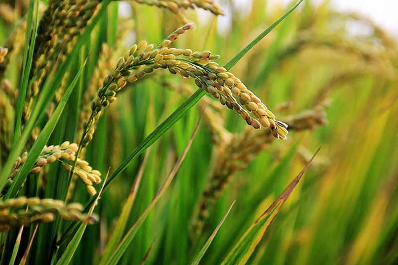
The study was conducted in four pilot provinces in four
countries: Savannakhet Province (Lao PDR), Nueva Ecija Province (Philippines),
Ang Thong Province (Thailand), and Thai Binh Province (Viet Nam). The four were
selected as part of a technical assistance (TA) project of the ADB to promote
the use of satellite-based technology in estimating rice area and production.
Both improvements in data quality and implementation costs were
taken into consideration for evaluating the survey methods.
The study compared Google estimates to GPS estimates, finding
few statistically significant differences between these two measures in all
countries, with the exception of Vietnam, where a a difference of 16.4 percentage
points was observed. The researchers say that the deviations may occur either
because of GPS measurement or Google measurement and be of larger magnitude because
plot sizes are small in Vietnam.
The fixed cost associated with procuring GIS software needed
to calculate area from GPS instruments or Google Earth images was zero in the
study as the researchers used a freely available and open source platform
called QGIS (previously known as Quantum GIS). However, variable costs per plot
would likely be different between GPS and Google methods.
So, the researchers considered four components of variable
costs: plot boundary mapping, printing of paper maps versus procuring GPS
instruments, farmer compensation, and consultancy fees.
They arrived at an estimated cost of $16.46 per plot for GPS
and $10.27 in the case of Google Earth, a 37.61% reduction. The paper notes
that for a survey with 4,000 plots, which is typical of multi-topic
agricultural surveys such as the Living Standards Measurement Study of the
World Bank, the cost savings from using Google Earth with the study’s cost
structure would be $6.19 x 4,000 = $24,760.
Since the differences between Google and GPS measures are
not statistically significant, while cost differences are, Google Earth images
could provide a viable alternative land measurement technique. The paper also notes
that as remotely sensed data becomes publicly available, it may become a less
expensive alternative to link to survey data than rely on GPS measurement.
Read the paper here.


