


Gold Coast Waterways Authority (GCWA) has engaged Australia’s Queensland University of Technology (QUT) to develop innovative solutions for waterways planning, management and safety.
About the Initiative
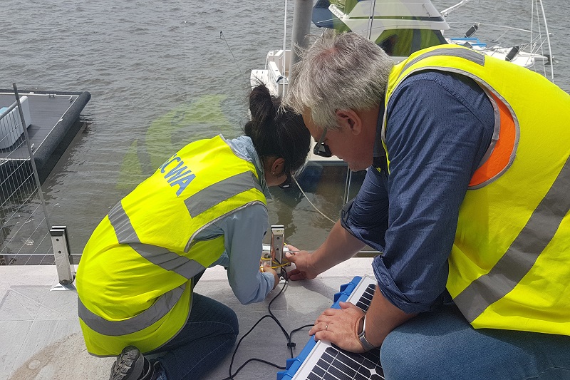
According to a recent press release, the GCWA is investing in a smart camera trial to build a detailed picture of activity on the city’s waterways network, which will help improve planning, network management and safety.
The University is tasked to use the smart camera technology to gather data on how the waterways are being used.
Analysis of this data will be used to inform plans and strategies for managing current and emerging pressures placed on the waterways by population growth and increasing boat ownership.
Advanced machine learning and statistical methods will be used to estimate the number and types of vessels using the waterways.
This data, together with information on marine incidents and weather conditions, will establish usage trends and provide insight into future patterns of waterways use and pressure points.
A second component of the project is exploring the feasibility of using the same camera technology to develop a more accurate way of measuring vessel speed on the water.
Background
The project builds on a study released last year by the GCWA into users and uses of the waterways network.
The study was able to provide a fairly broad idea of how the waterways are being used. More details are needed now in order to improve future planning.
The cameras are going to be used to create a more complete picture of the following:
- Who is using the waterways
- Where they are going
- What type of vessel or watercraft they are traveling in
- How they are interacting with other users and the environment
This information is critical as understanding the impacts that population growth and rising boat ownership equate to successful planning for the future.
This will allow the authority to plan for the changes, protect the environment and guarantee that locals and visitors continue to enjoy safe access to the beautiful waterways city.
How it Will Work
QUT Project Manager Associate Professor James McGree, from the University’s Centre for Data Science and Science and Engineering Faculty, explained that the cameras will take continuous photographs at their locations at all times of the week and in all weather conditions.
Image analysis will automatically process these photographs while advanced machine learning methods will understand what features of the images can be used to identify vessel type and determine the number of users.
Then, a statistical model, which will incorporate additional information such as weather and marine incidents, will be developed to provide an indicator of future patters of waterways use.
GCWA CEO Hal Morris explained that in terms of the speed component of the project, estimating on-water speed is very different from land-based speed.
The researchers will consider several factors including the strength and direction of water currents, which are measured through current sensors placed at several locations; weather; the directions vessels are travelling; and distances from the camera.
The project will also investigate whether computers can be trained to recognise vessel registration numbers to help with the identification of speeding vessels.


