


The government-owned organisation, Survey of India (SOI), with support from the Department of Science and Technology (DST), will digitally map the length and breadth of the country over the next two years.
SOI is the oldest scientific department in India and in charge of mapping and surveying. The project has already begun in over 40,000 villages in Maharashtra, five districts in Karnataka, and Haryana.
DST has set up three digital centres to generate a topographic database and create a digital map of India across terrains to aid geo-information systems.
According to SOI, unlike the global positioning system (GPS), which is a satellite-based navigation system, the digital maps for India are likely to be more accurate and precise.
The resolution of the map is five centimetres (cm), which means that one pixel will represent five cm on the ground. For accuracy, SOI needs at least two pixels, meaning the accuracy of the map will be 10 cm.
For national security, sensitive areas like defence bases will be edited out of the maps. SOI will prepare two series of maps; the open series map (OSM) for civilian uses or open uses and the defence series map (DSM) for defence uses only.
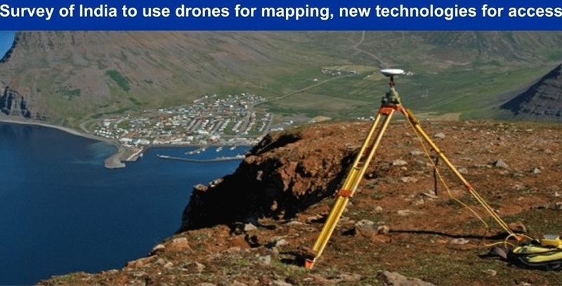
The drones will have sensors with Indian and global reference points programmed into them. When they take images of the ground, they can tell the exact longitude and latitude of that place.
The maps could be used for urban planning and other ground utility projects. For example, if a panchayat (village) has to make a pond, it will know where the low-lying areas are and plan it accordingly to ensure maximum water retention, the surveyor-general of India explained.
The idea is to make digital maps available to everyone. The mapping is drone-based but will be corroborated with ground-based information.
SOI has over 2,500 ground control points, uniformly distributed throughout the country and of which the standardised coordinates are known. However, the new mapping will be supported by a network of continuously operating reference stations (CORS) for instant online 3D positioning.
The objective is to generate digital maps on a 1:500 scale. So far, it maintains topographic maps in 1:5,000,000 and partially in 1:2,500,000 and 1:1,000,000 scales.
The SOI also plans to map floodplains of the river Ganga and 25 kilometres around the region. The map will help researchers gather information about the source of discharge, erosion, and elevation on both sides of the plain. It will also help predict flooding patterns.
The DST is also preparing a draft geospatial data policy that will cover who can own geospatial data, how they can use it, and how it can be shared.
The policy will be put in the public domain for consultation soon. It will set a balance between security and products for advancement.
In 2017, the Indian Department of Post worked with a private company to launch a pilot digital project called eLocations or eLoc.
It created a digital map of physical property addresses for the convenience of the Indian postal system and transparency in the real estate landscape. Physical addresses get a six-character digital address, with access to information like location, covered area, demographics, etc.
The system helps users search, share, and navigate to any destinations’ exact doorstep more easily and quickly. It reduces time, money, fuel wastage, and expenses for businesses in e-commerce, transportation, logistics, and field operations domains.


