


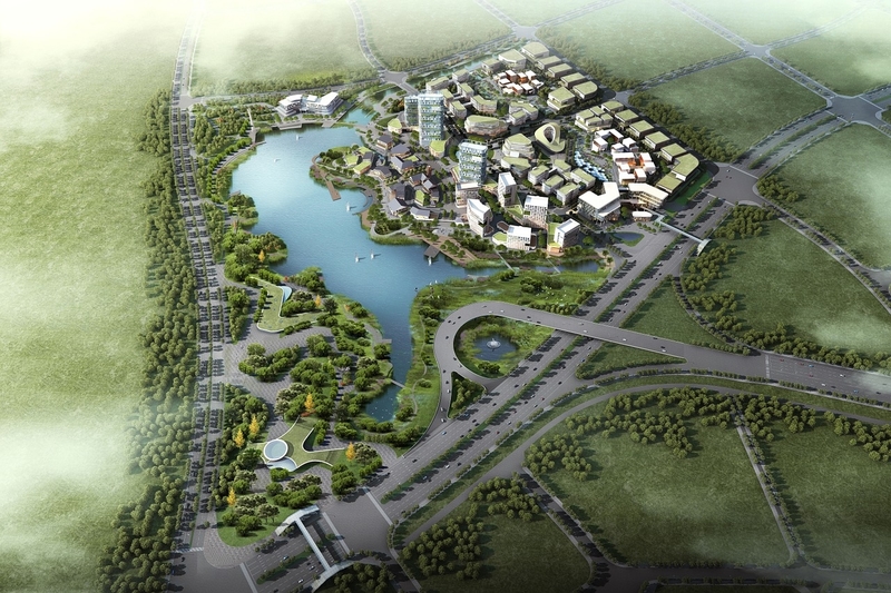
The Singapore Land Authority’s (SLA) authoritative map system, OneMap, will be upgrading to that of a 3D model.
This new model will see the inclusion of building models to display an image of how they will look and of the appearance of the landscape. This model will display existing structures, as well as those which are to be built in the future.
These 3D models and landscapes will allow home buyers to get a clearer perspective of the view they will receive from a particular floor of a building. They can also use the feature and carry out a shadow analysis to identify where shadows will fall on a specific building.
The launch of this new model was announced by Ms Indranee Rajah, Minister in the Prime Minister’s Office and Second Minister for Finance and Education, at the inaugural Singapore Geospatial Week, a five-day event which focuses on advocating the significance and rise of geospatial technology in Singapore.
She said that the model will most likely be ready for use by the end of next year.
Geospatial Technology involves the use of technology for collecting and utilising geographic information. Some of these technologies include Geographic Information System (GIS), GPS, remote sensing, and geofencing.
On the prevalence of use of geospatial information in Singapore, organisations such as Grab manipulate this data to be able to match drivers with passengers, in real-time. There is already an everyday use of geospatial technology with the likes of GPS for navigating around.
OneMap is the certified national map of Singapore which contains the latest and most comprehensive information of Singapore’s landscape. It provides location-based services such as:
- Bus explorer: for information on bus routes and arrival timing
- Landquery: Finding out land ownership and land lot information
- Schoolquery: Searching for primary schools which are located within a 1-2 km radius from a location
- Trafficquery: Live traffic information, cameras, ERP gantries and availability of parking lots
OneMap’s services are free to access. It is the product of a collaboration between several government agencies.
There is a growing trend for the sharing of 3D models as open data across the world.
We had previously reported on the generation of a 3D city model of all public housing (HDB) buildings in Singapore.
The Urban Analytics Lab at the National University of Singapore (NUS) has developed a 3D city model of all public housing (HDB) buildings in Singapore.
It generated the model by combining data from various open datasets. Since most of Singapore’s population reside in public housing, the datasets consist of information of the nation’s residential buildings.
The provision of open data of 3D city models is to allow researchers and practitioners of different disciplines to use 3D geoinformation to conduct various spatial analyses.


