


The Victorian Government has selected the Centre for Spatial Data Infrastructure and Land Administration (CSDILA) at the University of Melbourne to design and develop the ‘Digital Twin Demonstrator Project’ at the landmark urban renewal precinct, Fishermans Bend.
Minister for Planning Richard Wynne announced the collaboration, which will demonstrate the digital future of the cities.
He explained that the cutting-edge technology will allow architects, planners and the public to look into the future of the precinct.
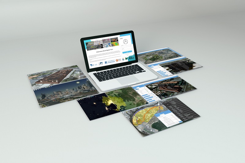
Digital Twin Demonstrator Project
According to a recent press release, the project will create 3D modelling of physical assets, which will enable better decision-making about how to manage current infrastructure and what to build in the futures.
The 3D modelling of physical assets will include precise location, design and condition.
A collaborative and a cross-disciplinary approach across government, research and industry will allow CSDILA to aggregate, manage and visualise complex 3D digital information about buildings, infrastructure and city areas.
This will include the capacity to show changes in 4D, over time, so that the information can be interpreted.
It will see the University partnering with the government to help address unresolved challenges of urban renewal, city planning and digital modernisation of land registers.
The University’s CSDILA Director shared that the Fishermans Bend digital twin allows for the collection, management, and visualisation of complex information using geospatial innovations to make better decisions about future cities.
Background of the initiative
This competitive process was first initiated in 2018 by the Strategic Land Assessment and Information (SLAI) division of the Department of Land, Water, Environment and Planning (DLWEP).
Department of Environment, Land, Water and Planning SLAI Director Melissa Harris explained that the Department is building the most innovative technologies to guarantee better outcomes for the Victorian community.
Fishermans Bend is Australia’s largest urban renewal precinct and is the perfect location to showcase the importance of urban planning technology as it transforms and grows over the next 30 years.
Work will start with this precinct and in time, will allow stakeholders to build intelligent, innovative digital systems either independently or collectively.
This will coordinate the management of smart, sustainable and liveable cities, suburbs and regional centres.
The Fishermans Bend Digital Twin Demonstrator project adopts FAIR (Findable, Accessible, Interoperable, Reusable) Data Principles.
Moreover, it enables the spatial information to be searched, discovered, aggregated and visualised seamlessly, irrespective of system, model, data content, server or application.
Achieving a sustainable future
By leveraging CSDILA’s capabilities and technical resources, the pilot project will support a more responsible approach to urban renewal and precinct planning activities to help achieve a sustainable future for all.
It is one step closer to the realisation of the United Nations’ Sustainable Development Goals in Australia.
Fishermans Bend will soon be home to the University of Melbourne’s new campus for engineering and design.
CSDILA’s work is one example of the many research initiatives the University will deliver there.
The University of Melbourne is committed to working with government and industry to deliver research applications that contribute significantly to liveability and economic uplift of the community.


