


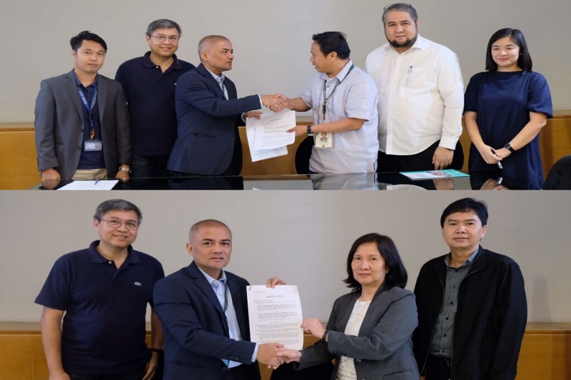
The Philippines’ Department of Science and Technology – Advanced Science and Technology Institute (DOST-ASTI) recently signed two separate Memoranda of Agreement (MOA), thereby marking a momentous milestone for the Agency.
The DOST-ASTI signed with the Department of Agriculture (DA) as well as with the National Mapping and Resource Information Authority (NAMRIA).
According to a recent press release, the ceremonial signing signifies the start of a formal agreement between the agencies to pursue, establish, and sustain collaborative research on mapping initiatives aligned with their respective mandates.
As laid down in the MOA, the collaborations will revolve around the access of the agencies to DOST-ASTI’s computing facilities, called COARE; remote sensing and GIS expertise, called DATOS Project; and the earth observation and satellite imageries, called PEDRO Centre.
In exchange, DOST-ASTI will gain access to the datasets of both the DA and NAMRIA, which are considered relevant input data that can enhance the research and artificial intelligence-based RS/GIS applications that the Department is developing.
These collaborations are part of DOST-ASTI’s aim of providing support to other government agencies by enhancing their operational capabilities through advanced science and technology.
The DOST-ASTI continues to dedicate itself to delivering technology solutions in support of a productive and resilient Filipino society.
Nature of Agreement with the Department of Agriculture
The DA is the Philippine government agency responsible for the promotion of agricultural development by providing the policy framework, public investments, and support services needed for domestic and export-oriented business enterprises.
The Field Programs Operational Planning Division of the Department (FPOPD) of Agriculture is currently implementing initiatives with the support of the Food and Agriculture Organisation of the United Nations (FAO-UN) on climate change adaptation- disaster risk reduction (CCA-DRR) and management in the agriculture sector.
Given their ground validation and field expertise, the project executes protocols that employ remote sensing data and geospatial analysis, and this is where the DATOS Project comes in.
In essence, the agreement stipulates that both parties shall exchange and share knowledge and capabilities on research in nationwide rice and corn mapping.
Nature of Agreement with NAMRIA
The National Mapping and Resource Information Authority is a government agency mandated to provide the public with mapmaking services and to act as the central mapping agency, depository, and distribution facility for natural resources data in the form of maps, charts, texts, and statistics.
For the longest time, NAMRIA has utilised satellite imageries as its main data source for topographic base mapping, environmental and natural resources mapping, nationwide land cover, among other initiatives.
Recognising that NAMRIA holds the expertise in nationwide mapping activities, DOST-ASTI presented the recent land cover classification output using advanced GIS and computing technologies of the agency.
Upon meaningful discussions and careful exchange of ideas, both parties agreed to work together in enhancing the existing methodologies of NAMRIA using artificial intelligence (AI) for nationwide land cover classification.


