


Yuku Baja Muliku Rangers, an indigenous ranger group in Queensland, Australia, have received Civil Aviation Safety Authority (CASA) certification to use drones commercially. They have purchased a craft and plan to use it soon to monitor the health of their land and sea country, with assistance from the Great Barrier Reef Marine Park Authority (GBRMPA).
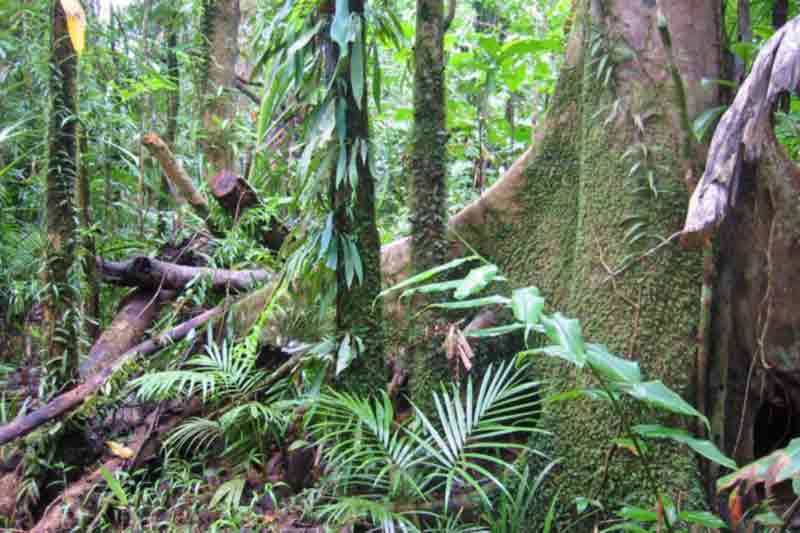
Spanning 22,500 hectares around Archer Point on Cape York., this is one of the most biodiverse regions on the planet and includes portions of two World Heritage-listed areas: the Wet Tropics and the Great Barrier Reef. Archer Point is a crucial stretch of the marine highway for green turtles travelling to and from their Raine Island nesting grounds, the largest in the southern hemisphere. The waters are home to the threatened hawksbill turtle and dugongs.
Using a drone carrying a small camera, the rangers will be able to view inaccessible areas, along with offshore islands and coral reefs. It will also allow them to map their country in greater detail and monitor any changes over time. Aerial photographs can identify features as small as individual mangroves and coral colonies.
Marine Park Authority Indigenous Partnerships project manager and drone pilot Andrew Denzin has spent the past 12 months testing the aerial mapping capabilities of small (1.3 kg) drones. He expressed confidence that the rangers would take up the idea.
He said, “A drone can support a range of environmental monitoring activities, including surveys of marine debris, seagrass beds, coral reefs, beach erosion, mangroves, the impact of severe weather events and human activity, as well as turtle and dugong activity, and seabird populations,” he said. They can also be used to record cultural heritage sites, and video traditional activities still being undertaken today.”
Drones provide a cost-effective means of mapping, compared to conventional aerial mapping. The cost per hour of hiring a helicopter is in the range of $1000 to $2000. A serviceable drone costs around $1200. Mr. Denzin described it as basically a flying laptop with auto-pilot capabilities.
Mr Denzin launched the Yuku Baja Muliku drone on its maiden flight last week and trained three of the rangers to pilot the craft and utilise mapping applications. Two of the rangers will undertake a Civil Aviation Safety Authority’s (CASA)-accredited remote (drone) pilot’s licence course.
In 2013, the Yuku Baja Muliku people developed a Traditional Use of Marine Resources Agreement (TUMRA), accredited by the GBRMPA and the Queensland Government, to enhance the management of their sea country, which lies within the Great Barrier Reef Marine Park. The Queensland Department of Environment and Heritage Protection funded the construction of the Archer Point Turtle Rescue and Rehabilitation Centre during the following year. The rangers accepted an invitation from GBRMPA invited to trial the use of drones as a TUMRA field management tool.
“Our connection to our sea country, and respect for the animals that we share these waters with, ensures we do all we can to protect them. Our care is unwavering,” Yuku Baja Muliku Rangers operations manager Mick Hale said. He and his wife Larissa established the ranger team in 2007.
Mr. Hale added, “The potential of this technology really excites us. We foresee using drones in many aspects of our land and sea country management.”


