


|
Getting your Trinity Audio player ready...
|
Space technology and its utilisation in remote sensing have contributed to achieving sustainable development goals in Indonesia since the 1970s. To further enhance national space capabilities, the National Research and Innovation Agency (BRIN) is currently developing a digital satellite constellation known as the Nusantara Satellite Constellation.
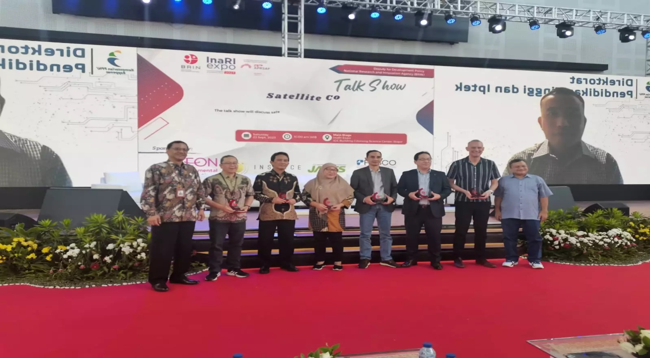
BRIN’s Deputy for Development Policy, Mego Pinandito, emphasised BRIN’s role in bridging policymakers, academia, and the public to leverage the upcoming satellite developments. This inclusive approach fosters discussions about the satellite constellation from various perspectives.
Multidisciplinary and multinational speakers addressed technical specifications, potential contributions of satellite technology to national development, potential partnerships with national and international industries, and strategic policy challenges.
Indonesia has mandated the National Remote Sensing Data Bank at BRIN, through Presidential Instruction No. 6 of 2012, along with space laws and government regulations, to provide data and satellite services free of charge to ministries/agencies, local governments, and universities. This satellite constellation’s presence will support national infrastructure, unlock new opportunities for progress development, and play a vital role in improving connectivity, disaster management, environmental monitoring, and economic development.
Mego expressed his optimism for strengthening partnerships and collaborations with the international community, as space exploration and technology are believed to provide a platform for mutually beneficial global cooperation. The collaborative nature of space fosters knowledge exchange and contributes to international efforts in addressing shared challenges, such as climate change, disaster management, and sustainable development. By joining forces with other nations, Indonesia aims to leverage collective expertise and resources, amplifying the impact of its space programmes on a global scale.
Robertus Heru Triharjanto, Head of the Flight and Space Research Organisation at BRIN, provided a comprehensive overview of the Nusantara Satellite Constellation programme. This visionary initiative encompasses a constellation of 18 satellites, each meticulously designed to fulfil diverse and pivotal missions integral to Indonesia’s progress and prosperity.
Among these 18 satellites, several are strategically dedicated to high-resolution remote sensing, incorporating optical and Synthetic Aperture Radar (SAR) capabilities. These advanced remote sensing capabilities offer Indonesia unparalleled insights into its landscapes and seascapes.
For instance, they enable the precise monitoring of maritime regions, empowering law enforcement agencies to combat illegal fishing activities effectively. Moreover, they provide essential data for strategic rice production monitoring, enhancing food security. The satellites contribute to pollution mapping, support carbon trading initiatives to safeguard the environment, and monitor topographical changes such as land subsidence, which is critical for disaster preparedness and mitigation.
Additionally, the programme includes a dedicated relay satellite designed specifically to address the need to monitor illegal fishing activities, especially across extensive maritime areas. Equipped with advanced instruments and technologies, the Nusantara Satellite Constellation is a highly strategic and essential initiative for Indonesia.
Meanwhile, Herjon CM Panggaben, Director of Basic Land and Spatial Measurement at the Ministry of Agrarian and Spatial Planning/National Land Agency (ATR/BPN), added that the need for high-resolution data and services is crucial to accelerate land registration in Indonesia.
Access to satellite imagery for 126 million land parcels throughout Indonesia is anticipated, supporting spatial planning, including Regional Spatial Plans (RTRWs) and Detailed Spatial Plans (RDTRs) in all districts/cities. It aids in identifying land use and utilisation in Right to Cultivate (HGU) permits, improving land boundary quality, mitigating risks associated with land use changes, and updating paddy field base maps.
Through such endeavours, Indonesia solidifies its presence in space. It demonstrates a strong commitment to utilising advanced satellite technology to address strategic challenges in various fields crucial for the country’s progress and security.


