


Remote sensing has been widely used to identify and analyse various issues in agricultural land. One application of remote sensing has been conducted to estimate oil palm productivity by utilising satellite imagery from Sentinel-2.
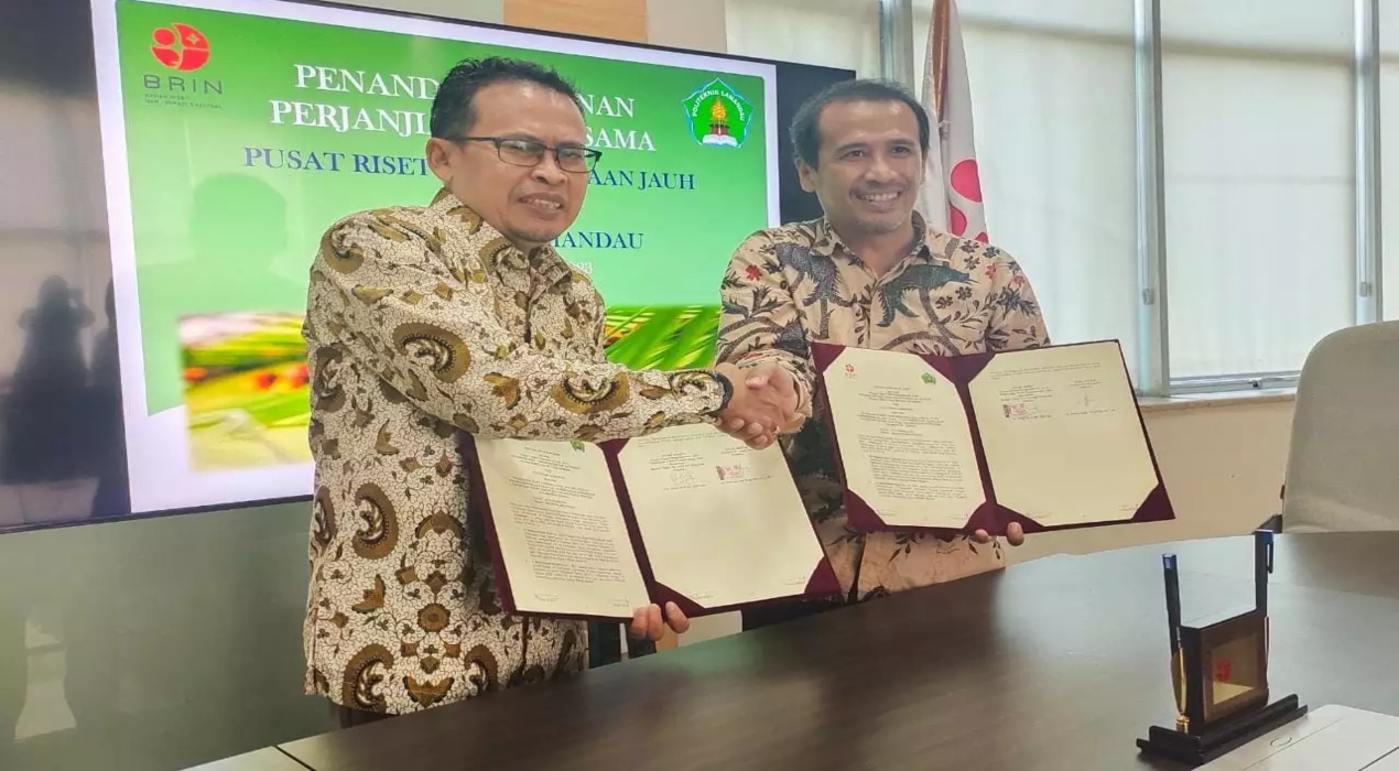
A collaborative remote sensing research project for estimating the productivity of oil palm, modelling fire-prone areas, and studying oceanography in Lamandau Regency, Central Kalimantan, has been established by the National Research and Innovation Agency (BRIN) in collaboration with Lamandau Polytechnic from Lamandau Regency, Central Kalimantan.
The signing of the cooperation agreement between both parties was carried out by Rahmat Arief, Head of the Remote Sensing Research Center (PRPJ) at the Flight and Space Research Organization (ORPA) of BRIN, and A. Adhityawan Nugroho, Director of Lamandau Polytechnic, at the Teratai KST Soekarno Building in Cibinong.
Further research on estimating oil palm productivity using remote sensing is necessary to ensure more reliable accuracy of the results. It can estimate the productivity of oil palms and provide a deeper understanding of the factors that influence crop production. Such research involves the analysis of various variables such as climate, soil type, fertilisation, pest and disease management, and other cultivation practices. By deepening the understanding of these factors, more effective methods can be developed to optimise oil palm productivity and support the sustainable growth of the palm oil industry.
Rahmat stated that BRIN has the task of increasing partnerships to foster collaborations, particularly in research collaborations. The goal is to establish a research ecosystem as an economic foundation. An economy based on research is more resilient, especially when utilising advanced technology. Therefore, BRIN strives to establish a research ecosystem supported by policies, human resources, infrastructure, and business processes.
Technology is indeed closely related to infrastructure. BRIN has the concept of an open platform infrastructure where all sectors can access the infrastructure within BRIN. He continued that this includes High-Performance Computing (HPC), laboratories, data centres, and other facilities.
The income generated from oil palm in Lamandau Regency is substantial, and its exports are also significant. According to data from Regional Development Planning Agency (Bapeda), the agricultural sector, including oil palm, contributes 20% to the Gross Regional Domestic Product (PDRP) of Lamandau Regency.
Through remote sensing data, this research collaboration aims to establish a comprehensive understanding and accurate prediction of oil palm productivity in Bulik District, Lamandau Regency. By harnessing the power of remote sensing technology, the collaboration is anticipated to provide valuable insights and tools for palm oil companies to manage their plantations effectively and optimise production in line with their desired targets.
The successful implementation of this research collaboration holds excellent potential for the region’s development in both Lamandau Regency and Central Kalimantan Province.
Through utilising remote sensing data and the collaborative efforts of various stakeholders, including research institutions, government bodies, and palm oil companies, this research collaboration aims to establish a robust framework for accurate productivity estimation, effective plantation management, and sustainable development in Bulik District. By synergising scientific knowledge, technological advancements, and practical applications, the collaboration endeavours to positively impact the local community, foster economic growth and benefit the environment, particularly in the region.


