


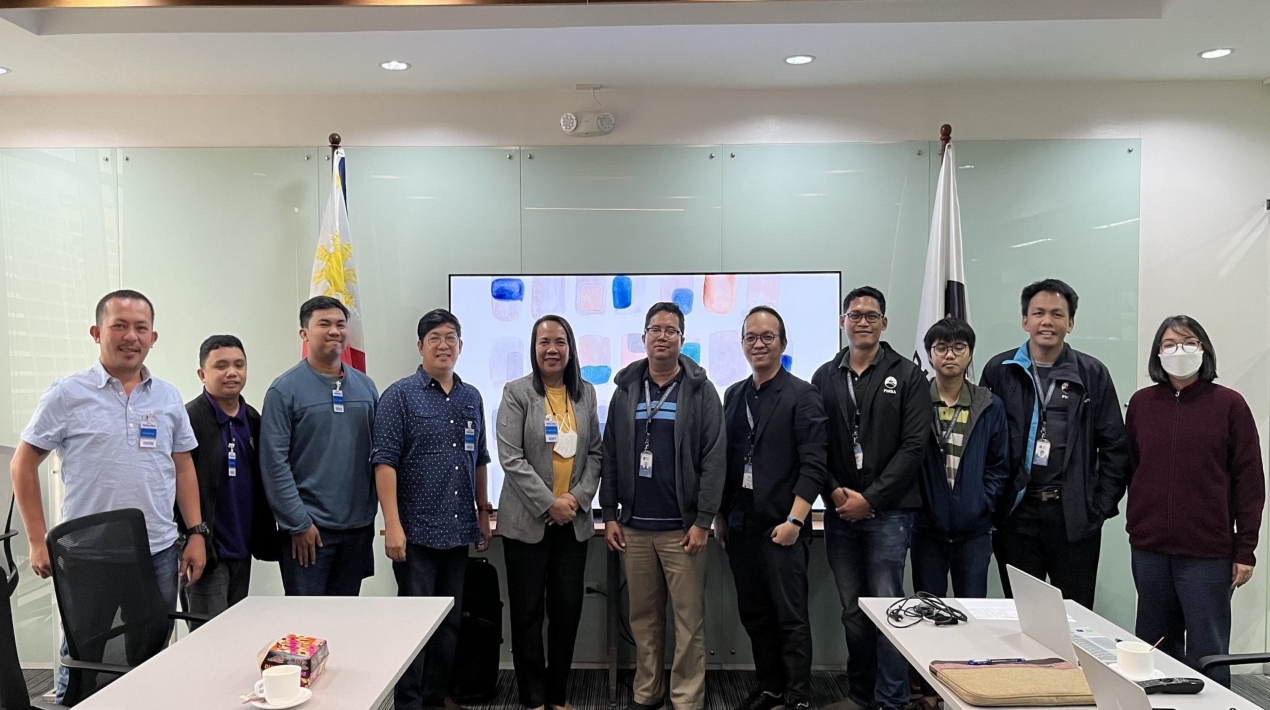
Using satellites, scientists from the Space Information Infrastructure Bureau (SIIB) of the Philippine Space Agency (PhilSA) and the Bureau of Agricultural and Fisheries Engineering (BAFE) of the Department of Agriculture (DA) are preparing to map and monitor crops and farm to market roads in the country.
The agencies discussed developing a Collaborative Research Agreement (CRA) in coordination meetings held in March and April. The CRA will initially look at the farming of corn in Pampanga or Isabela, the farming of onions in Nueva Ecija, and the location and use of farm-to-market roads in Pampanga or Nueva Ecija.
To create geodatabases on the crops, the study will concentrate on corn and onions. In the meanwhile, the Region III trial locations were chosen for their huge corn and onion farms.
Integrating geolocation data with other Earth observation data will allow for more comprehensive crop analyses on a larger scale. This will provide, at a minimum, statistics on the delineation and area of these commodities.
Complex research can produce information such as agricultural calendars, yield estimation, and damage assessments resulting from natural disasters such as drought and typhoons. It is anticipated that the collaborative research will assist the government, non-government organisations, and farmers in making informed decisions regarding the nation’s agricultural security.
In addition, PhilSA recently visited Tarlac schools to deliver a series of presentations on space education, space research and development, and prospects in space science and technology applications (SSTA).
Students participated in a water rocket activity to conclude the sessions. The school tour is made feasible through a collaboration between the Department of Education’s Region 3 and the Tarlac Provincial Science and Technology Office.
In conjunction with the school tour, the Philippine Foundation for Science and Technology (PFST) and the Department of Science and Technology Philippine Council for Industry, Energy, and Emerging Technology Research and Development (DOST-PCIEERD) hosted a Space Technology Applications Exhibit at Tarlac State University-Main Campus.
The exhibit featured replicas of Philippine microsatellites and space technology applications by Filipino scientists. It also featured a mobile planetarium.
In the schools’ tour and exhibit programme, scientists, and engineers from PhilSA joined members of the TALA Rocketry Team to tell students about the TALA Hybrid Rocket – the first high-power hybrid rocket developed in the Philippines by local space technology researchers, students, and their mentors from St. Cecilia’s College-Cebu. The recent launch of the hybrid rocket occurred in Crow Valley, Capas, Tarlac.
Using 3D-printed advanced composite materials, a 10-foot-tall, 15-kilogram rocket was constructed in 2018 as part of the Young Innovators Programme of the DOST-PCIEERD.
Due to the pandemic, the March 2020 inauguration of TALA from Mati City Airport in Davao Oriental had to be postponed indefinitely. Since the beginning of 2022, PhilSA and the TALA crew have collaborated through the Philippine Air Force Research and Development Centre.
The TALA rocket is equipped with flight sensors, a GPS, dual parachute deployment, and a payload system capable of launching a Can Satellite (CanSat) approximately 5 kilometres into the atmosphere.
According to the TALA team, propelling CanSats into the atmosphere with hybrid rockets is more effective than deploying these simulated satellites with drones because hybrid rockets can deploy to greater altitudes. CanSats are used to remotely collect environmental data in educational contexts.


