


The Philippines’ Department of Science and Technology (DOST) has finally opened the third Ground Receiving Station (GRS) in the province of Dumangas, Iloilo. This brings the total number of ground stations in the country to three.
The facility helps the DOST get the most out of its ability to send commands and images to Philippine satellites in orbit, like the Diwata-2 and others. Researchers at all three stations can use the facilities remotely and at the same time, thanks to the Iloilo GRS.
With the Iloilo GRS in place, there are now ground stations on three of the Philippines’ main island groups: Luzon, Visayas, and Mindanao. This strengthens its capacity to understand weather and lightning data, inevitably advancing the potential for disaster risk reduction and management.
This also gives scientists a chance to work on agricultural management projects and use technology to learn more about the maritime domain and even environmental issues like natural and man-made disasters.
The Iloilo GRS is one of the ground stations used to control the Diwata-2 microsatellite. It records the temperature, humidity, and data of multiple locations in real time. When the Diwata comes within the horizon of the GRS, it can talk to the microsatellite four times a day.
The number of images downloaded per day ranges between 40 and 50. The images are distributed to government agencies and local government units for disaster assessment, environmental monitoring, and maritime surveillance applications.
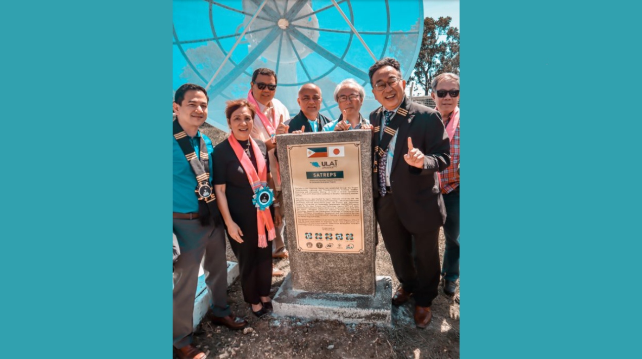
Through the project Understanding Lightning and Thunderstorms for Extreme Weather Monitoring and Information Sharing (ULAT), DOST-ASTI and Hokkaido University in Japan collaborated to build the Iloilo satellite tracking antenna. The project is also supported by the Japan International Cooperation Agency (JICA) and the Japan Science and Technology Agency (JST) as an Official Development Assistance (ODA) project.
The Iloilo GRS houses a 3.5-meter Earth Observation satellite tracking antenna, which supplements the activities and functions of the DOST’s two other ground stations.
The first satellite ground station, which houses a 3.7-meter antenna, was established in 2016 at the DOST Advanced Science and Technology Institute (ASTI) Building in Quezon City. The second one in Davao, which is equipped with a 7.3-meter tracking antenna located in the Civil Aviation Authority of the Philippines, was inaugurated in 2019.
The researchers from DOST-Philippine ASTI’s Earth Data Resource and Observation (PEDRO) Centre began testing the Iloilo GRS antenna until it is fully operational in 2022.
Aside from helping DOST-ASTI, the GRS in Iloilo is also meant to help the local community. It will do this by providing satellite image services to meet the needs of the local community in areas like monitoring mangroves and other agricultural areas. DOST also wants to teach people in the community how to use remote sensing applications to get the most out of the satellite images they are given.
Additionally, DOST-ASTI, Isabela State University (ISU)-Cauayan City Campus, DOST-Region 2, a blockchain technology startup, and Mindanao State University-Iligan Institute of Technology recently signed a Memorandum of Understanding (MoU) to support Computer Software Division (CSD) projects in the areas of Internet-of-Things, Blockchain, and AI technologies.
The MOU was signed with the assistance of ISU-Cauayan City Campus and DOST Region 2 to promote the use of the Kooha application in state universities and colleges, local government units, and the public and private sectors.
One goal is to make a system and do state-of-the-art research in Blockchain technology. Another goal is to find new ways to make machine learning and deep learning processes and methods more systematic and efficient for ASTI-ALaM (Automated Labeling Machine) and MSU-IIT.
The MoU is the beginning of a formal agreement between these agencies to promote, use, and keep these DOST-ASTI technologies going.


