


|
Getting your Trinity Audio player ready...
|
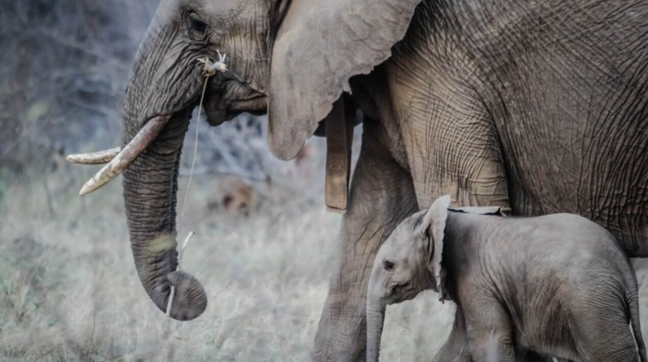
For the last seven months, the residents living near the Udanti Sitanadi tiger reserve have been able to mitigate the risk of wild elephant encounters thanks to the Chhattisgarh Elephant Tracking and Alert app, which is driven by artificial intelligence (AI). Since its introduction, this app has effectively prevented any casualties due to elephant attacks.
The AI-integrated application works with an elephant tracking system and human patrolling teams that input data regarding the location and movements of elephant herds into the app. Initially introduced as a pilot project, the tracking app has gained widespread acceptance among numerous forest divisions within the state of Chhattisgarh. The app also sends alerts for the presence of other wild animals, including leopards, wild buffaloes, and bears.
The AI system identifies villages located within a ten-kilometre radius of the elephant herds and dispatches notifications through calls, voice messages, and text messages to the residents’ mobile phones. Specifically, the alerts are sent to people whose mobile numbers are linked to their names and GPS locations.
The app’s creator and deputy director of Udant Sitanadi tiger reserve, Varun Jain, emphasised the necessity of monitoring and notifying residents about the presence and movements of elephant herds in potential areas of concern. According to reports, approximately 2,500 locals from 110 villages have registered with the app.
He noted that the occurrences of human-elephant conflicts and attacks, which were once prevalent in the region with 110 villages, have markedly decreased over the past 7-8 months within the tiger reserve. Previously, such incidents were frequent, resulting in a high number of casualties.
The reserve, spanning from the Gariaband district to the nearby Dhamtari district, has consistently experienced human-elephant conflicts. Concurrently, the northern regions of the state have also documented instances of elephant attacks, resulting in the loss of more than 230 human lives in the past three years, as well as the deaths of over 75 elephants within the last five years.
The application plays a pivotal role in collecting and analysing data, enabling the study of the roaming pattern of elephant herds. This includes tracking which corridors they traverse, their favoured forest zones (and the proximity to neighbouring villages), and the timing of their movements from one district to another.
Other countries across the world are leveraging technology to preserve their forests and the wildlife inhabiting them. In Australia, researchers were given a grant to enhance specialised satellite surveillance software and drone technology for forestry research. It uses advanced supercomputers to process satellite imagery, enabling early detection of underperforming trees for plantation foresters across Australia.
In Vietnam, the implementation of IT applications has resulted in a decrease in unlawful forest production exploitation and transportation and the illegal hunting of wildlife. Xuan Lien Nature Reserve in Thanh Hoa province, Vietnam, has adopted the SMART system in its patrolling efforts, effectively safeguarding the region’s forests and biodiversity. SMART, consisting of data management tools and patrol reports, has gained global recognition and is instrumental in managing protected areas throughout Vietnam. By standardising data collection, analysis, and reporting, SMART offers a holistic view of biodiversity and natural resource management within protected areas. This data is essential for crafting regulations and making well-informed decisions.


