


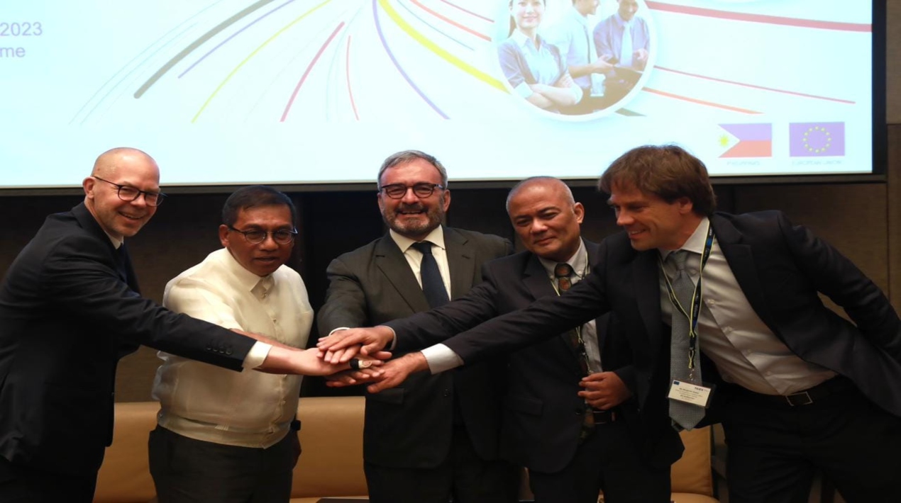
The National Copernicus Capacity Support Action Programme for the Philippines (CopPhil) was formally launched by the Department of Science and Technology (DOST), the Philippine Space Agency (PhilSA), and the European Union (EU) Delegation to the Philippines.
The flagship earth observation initiative of the EU, Copernicus, offers free climate and environmental data gathered from a constellation of satellites called Sentinels that continuously monitors the world and its various ecosystems. This free material intends to assist governments, companies, and international organisations in reducing the effects of climate change and creating a sustainable future for all.
Copernicus satellite photos have already aided officials in the Philippines in monitoring the situation in outlying villages following typhoons like Odette or mishaps like an oil spill to assist in planning their disaster preparedness and mitigation strategies and response.
The Copernicus programme for the Philippines, according to E. Luc Véron, the ambassador of the European Union to the Philippines, is a pioneering initiative in the Asia Pacific and the foundation of a bigger programme on digital connectivity. The plan would strengthen Filipino society and economic resilience to shocks while also promoting reciprocal contact between the Philippines and the EU.
Ambassador Véron added that the European Union is looking at the long-term possibilities of establishing a network of Copernicus partners not just in other regions of the world but also in the ASEAN region. The adoption of cutting-edge technologies like Copernicus will spur economic development, the creation of jobs, and the modernisation of digital infrastructures that can be applied across various industries in the Philippines.
This 3-year, 10-million-euro plan is in line with DOST’s commitment under the EU-Philippines Partnership and Cooperation Agreement, which calls for collaboration on research and technology, disaster risk reduction, and adaptation to and mitigation of climate change.
The Philippines and other EU members have agreed to step up their collaboration on disaster risk management in the ongoing development and application of policies to lower the risk to communities and manage the effects of natural disasters at all societal levels.
DOST Secretary Renato U. Solidum, Jr on the other hand stated that they have been implementing activities as well as further research for ground motion monitoring, flood detection, and flood extent mapping through the DOST-Advanced Science and Technology Institute (ASTI) and DOST-Philippine Institute of Volcanology and Seismology (PHIVOLCS). They have also used Sentinel datasets for landcover mapping, aquaculture monitoring, and even forest and watershed management monitoring throughout the Philippines.
He added that the agency intends to deploy EU Copernicus observation satellites and ground-based data information systems to improve the Philippine government’s planning and decision-making capacities.
Many of the facilities and ground infrastructures employed for this programme are still under the control of the DOST as they are committed to supporting this programme as a supplement to the PhilSA’s existing activities, as the agency continues to conduct multiple research and development efforts on disaster risk reduction and many other sustainability endeavours.
To date, DOST has made significant use of not only satellite science and technology but also other emerging technologies and innovation to update and strengthen the agency’s unified disaster and climate risk management strategy, which is implemented at all levels of the Philippine government.


