


The Singapore Land Authority (SLA) is launching numerous new collaborations to address urban challenges by leveraging geospatial technology to facilitate data-driven decision-making and solutions. Geospatial technology is location-based technology that is widely used in areas such as mapping and road navigation and is a key enabler in supporting Singapore’s Smart Nation and sustainability initiatives.
Dr Amy Khor, Senior Minister of State, Ministry of Sustainability and the Environment, and Ministry of Transport, announced the new collaborations at the recently concluded Geo Connect Asia 2023. The Senior Minister was also present at the signing ceremonies for two SLA collaborations: the Container Depot and Logistics Association (Singapore) and the General Authority for Survey and Geospatial Information of the Kingdom of Saudi Arabia.
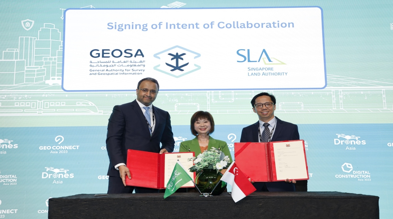
SLA has also begun its first bilateral collaboration with the General Authority for Survey and Geospatial Information (GEOSA), Kingdom of Saudi Arabia, as part of its efforts to foster international knowledge exchange and contribute their experiences in the use of geospatial data and technology.
The collaboration stems from both countries’ rapid urbanisation, which has resulted in an increased need to use geospatial data and technology in decision-making, as global cities face similar challenges that could benefit from shared solutions. The collaboration with GEOSA, which will last three years, will involve the exchange of knowledge and experiences on:
- The development and management of national geospatial databases;
- The use of technologies such as artificial intelligence, and machine learning in the development of digital twins;
- Digital transformation in the geospatial industry; and
- Development of geospatial products and services that will benefit citizens.
Also, the SLA will work with the Container Depot and Logistics Association (Singapore) to make it easier for heavy vehicles to get where they need to go. Companies that use these kinds of vehicles and their drivers will be able to plan their trips better and save time if they have more information. This means that the companies will save money because they will use less fuel and put out less carbon.
SLA has also been working with SG Enable and Gardens by the Bay to map routes that are easy for people in wheelchairs to use. This collaboration is part of SLA’s support for the Enabling Masterplan 2030, which describes Singapore’s goal of becoming a society that welcomes everyone by 2030.
In this project, information about barrier-free routes is collected and mapped in Bukit Merah and Gardens by the Bay. These routes have things like covered linkways for wheelchairs, ramps, footpaths, pedestrian crossings, and overhead bridges with lifts.
SLA has made a pilot testing app with barrier-free access routes for these two areas so that wheelchair users can give feedback and give ideas for making things better. In the next six months, improvements will be made to more testing areas in terms of data accuracy and ease of use. In the future, the barrier-free access routing function will be added to OneMap as an extra way to find your way, along with the public transportation, cycling, and driving modes that are already there.
SLA has been working with partners to get students excited about geospatial technologies and make them aware of how they can be used to solve everyday problems in the community.
Other projects like this include the annual Global Navigation Satellite Systems (GNSS) Innovation Challenge, which is put on with the help of the Space Faculty, the annual Regional Geospatial Youth Forum, and the Young Geospatial Scientist workshop, which is put on with the help of the Singapore Science Centre.
Later this year, the government will announce new ways to help students learn. Through these projects, SLA wants geospatial data and capabilities to be used by everyone.


