


The Hong Kong Polytechnic University (PolyU) and the Fire Services Department (FSD) announced that they have signed a Memorandum of Understanding (MoU), putting forward a study on the use of innovation and technology (I&T) that can track the location of firemen at indoor fire scenes. The technology will help improve the safety of frontline personnel.
PolyU and the FSD will work together to evaluate the use of indoor positioning technology to track and locate fire personnel at fire scenes inside buildings and protect them against danger. With PolyU’s experience in cutting-edge engineering research and the advanced simulation training facilities in the Fire and Ambulance Services Academy, the collaboration aims to enable an optimum synergy effect and better protect the lives of Hong Kong’s personnel.
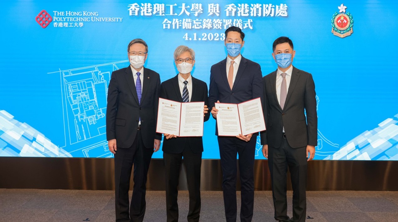
The signing of the MoU was by the PolyU’s President as well as the Director of Fire Services. It was signed by the Head of Department of Industrial and Systems Engineering of PolyU, and the Assistant Director (Corporate Strategy) of the FSD.
The President of PolyU stated that the University is pleased to participate in this meaningful study by leveraging our research and innovation capabilities to strengthen the safety of fire personnel. PolyU’s Department of Industrial and Systems Engineering has expertise in the area of precision engineering research, with its researchers participating in the Nation’s space exploration missions of the Moon and Mars.
The collaboration on the development of an indoor fire scene tracking system will combine PolyU’s advanced positioning and precision engineering technologies with FSD’s professional facilities and support. The study is expected to help provide more timely protection to fire personnel.
In addition, PolyU will continue to harness its multi-disciplinary research strengths to support FSD’s work. For instance, the University’s Department of Building Environment and Energy Engineering is conducting “smart firefighting” research that adopts AI to monitor buildings’ fire hazards.
Meanwhile, FSD’s Director of Fire Services noted that the Department has long been supportive of the HKSAR Government in promoting the development and application of I&T. For years, the FSD has continued introducing and applying I&T in enhancing its firefighting, rescue, and emergency ambulance services for better protection of the lives and property of citizens as well as the safety of frontline fire personnel.
The FSD has deployed robots for firefighting tasks and applied artificial intelligence-assisted drones during mountain rescue operations to help search for missing persons. Both devices have been proven to be effective in greatly enhancing operational efficiency and safety.
In addition, the FSD will share its accomplishments on I&T research with the fire and rescue departments of the Mainland cities of the Guangdong-Hong Kong-Macao Greater Bay Area via regular technical exchanges.
One report notes that in 2020, the global Indoor Positioning and Navigation market was valued at US$6.92 billion. It is expected to grow to US$23.6 billion in 2025 at a CAGR of 27.9%. Countries in North America and Europe remain the largest markets for Indoor Positioning and Navigation Systems sales, accounting for a major share of the global market.
The report notes that indoor positioning and navigation systems employ the use of a variety of technologies including Magnetic Positioning, Simultaneous Localisation and Mapping (SLAM), Global Navigation Satellite System (GNSS), Global Positioning System (GPS), Global Navigation Satellite Systems (GLONASS), Galileo, A-GPS, Cellular Sensors (Gyroscope, Acceleration, Barometer, Antenna and Near Field Communication (NFC)), Wi-Fi, Ultra-Wide Band (UWB), Radio-frequency identification (RFID) and Bluetooth Low Energy (BLE) Beacons.
Some of the most common uses of this kind of technology include positioning & navigation (contextual information, modelling, surveying and mapping of infrastructures), location-based promotion, asset tracking (personnel and object tracking in an infrastructure escalating real-time monitoring and management) and emergency services (navigation for the location of individuals in case of emergencies during disaster management or in law enforcement scenarios).


