


The National Oceanic and Atmospheric Administration (NOAA) and a drone company have sent ocean drones to capture data and video from inside Hurricane Samto help scientists better understand the nature of hurricanes. Battling 50-foot waves and 120 mph winds inside the category 4 storm, the SD 1045 is collecting real-time observations for hurricane prediction models, which are expected to yield new insights into how large and destructive tropical cyclones grow and intensify and how coastal communities can better prepare for severe storms.
The wind-powered ocean drones feature meteorological and oceanographic sensors running on solar power that collect real-time data in ocean environments and transmit it via satellite. Data from their acoustic and camera system is processed with a proprietary onboard machine learning algorithm to deliver high-resolution data in real-time to a secure web portal and raw data post-mission that can be accessed through an application programming interface.
Using data collected by the ocean drones, we expect to improve forecast models that predict rapid intensification of hurricanes. Rapid intensification, when hurricane winds strengthen in a matter of hours, is a serious threat to coastal communities.
– Greg Foltz, NOAA scientist
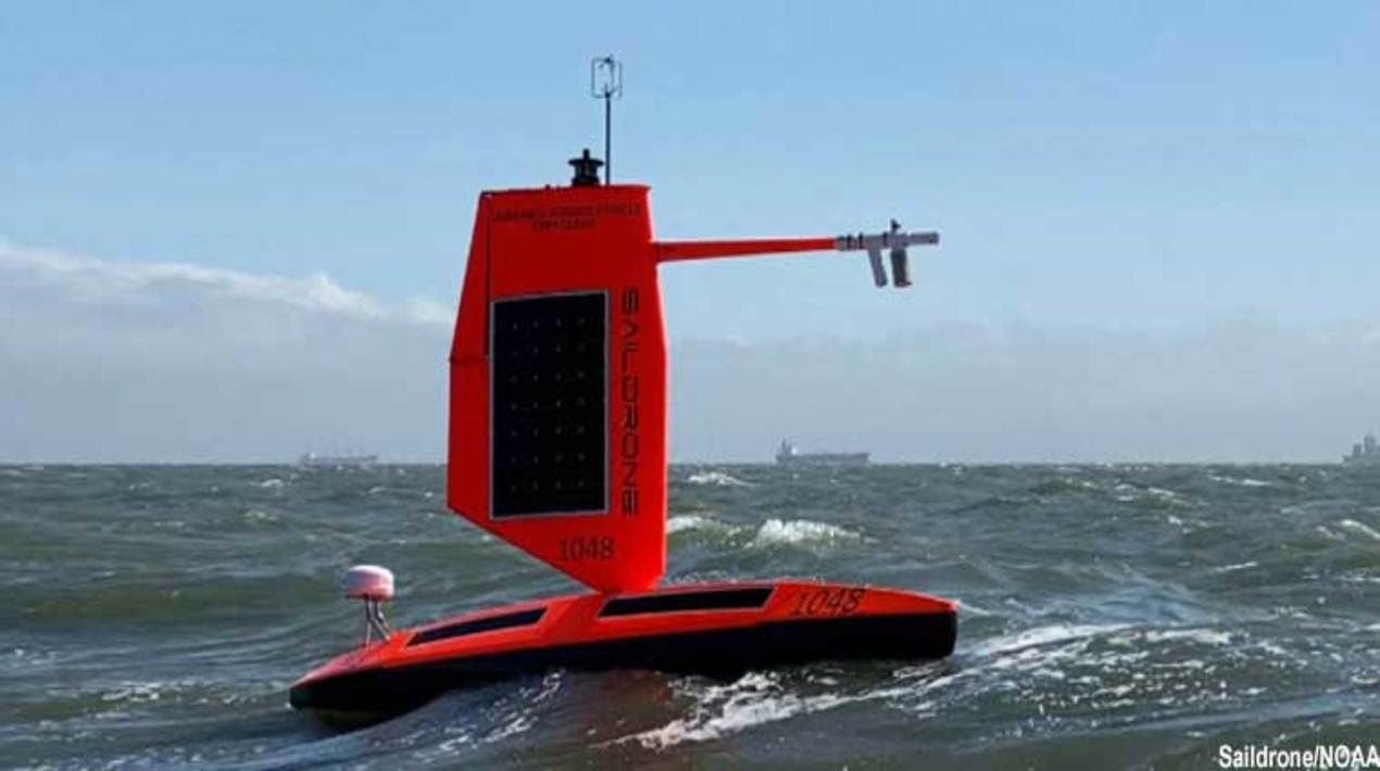
Equipped with a specially designed “hurricane wing,” enabling it to operate in extreme wind conditions, the drone is braving Hurricane Sam in the open ocean, collecting real-time observations for numerical hurricane prediction models, which are expected to yield new insights into how large and destructive tropical cyclones grow and intensify.
The drones were gathering data around the clock to help understand the physical processes of hurricanes. This knowledge is critical to improving storm forecasting and is expected to reduce the loss of human life by allowing better preparedness in coastal communities. The drones are constantly supervised by a human pilot via satellite as they navigate autonomously from prescribed waypoint to waypoint, accounting for wind and currents.
The ocean drone is going where no research vessel has ever ventured, sailing right into the eye of the hurricane, gathering data that will transform our understanding of these powerful storms. After conquering the Arctic and the Southern Ocean, hurricanes were the last frontier for ocean drone survivability.
The data on air temperature, relative humidity, barometric pressure, wind speed and direction, water temperature and salinity, sea surface temperature and wave height and duration will also be valuable to the National Weather Service, which will use it to improve forecasting.
The National Environmental Satellite, Data and Information Service will work to align data findings from other observing platforms, such as gliders. The data will also be sent to the World Meteorological Organization’s Global Telecommunication System and disseminated to some 20 major forecast centres worldwide, including NOAA.
Sending a robotic vehicle into the eye of a hurricane is something that has never been done before. This activity is an incredibly complex engineering challenge that could have a significant positive impact on the ability to predict extreme weather, for the benefit of communities facing these events.
As reported by OpenGov Asia, U.S. aerospace engineers have devised an algorithm that helps drones find the fastest route around obstacles without crashing. The new algorithm combines simulations of a drone flying through a virtual obstacle course with data from experiments of a real drone flying through the same course in a physical space.
The researchers plan to fly more experiments, at faster speeds, and through more complex environments, to further improve their algorithm. They also may incorporate flight data from human pilots who race drones remotely, and whose decisions and manoeuvres might help zero in on even faster yet still feasible flight plans.


