


AI System Identifies Buildings Damaged by Wildfire
U.S. researchers developed an AI system that helps classifying buildings with wildfire damage by relying solely on post-fire images with 92% accuracy.
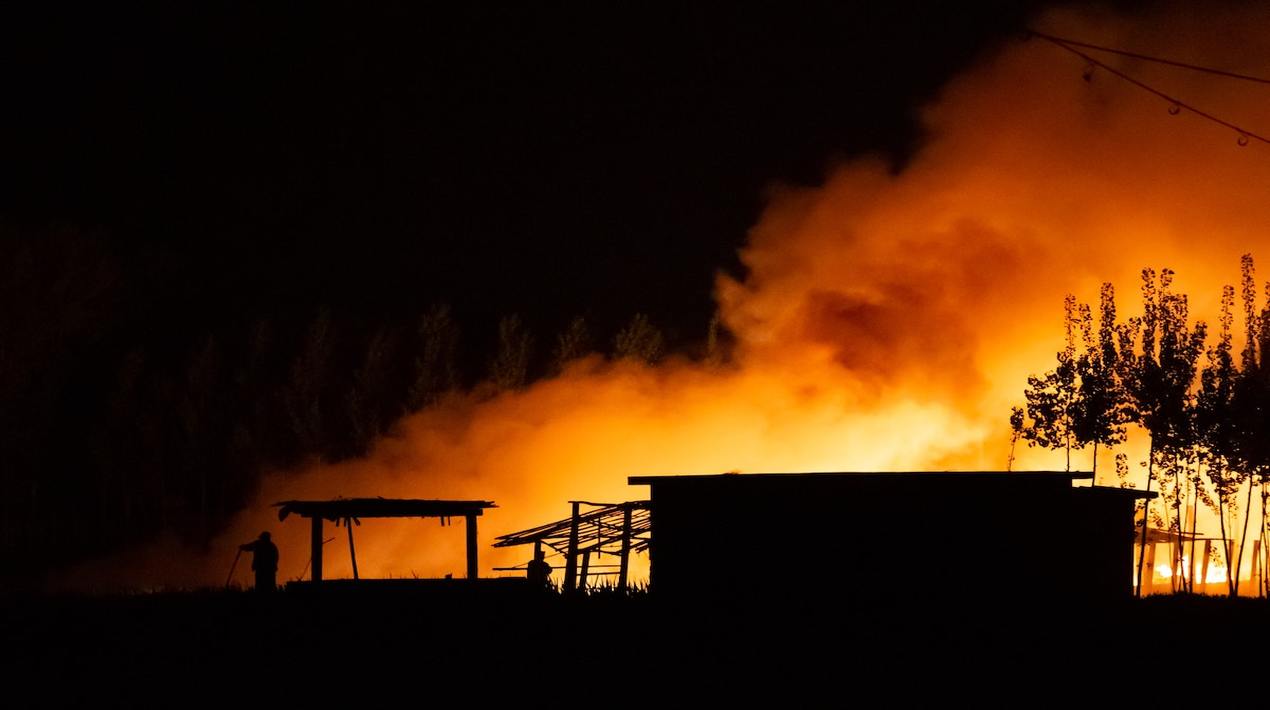
Wildfires are increasing in frequency and intensity as climate change becomes more pronounced and visible. These are now causing disruptions in urban areas people left homes and their lives behind. Now, they will have to wait anxiously to know the state of their homes and the damage that they will need to fix.
Researchers at Stanford University and the California Polytechnic State University (Cal Poly) have developed an Artificial Intelligence (AI) algorithm system called DamageMap that is a damage classifier; it helps identify building damages within minutes of a catastrophe by studying aerial photographs. Instead of comparing before-and-after photos, they’ve trained a program using machine learning to rely solely on post-fire images.
We wanted to automate the process and make it much faster for first responders or even for citizens that might want to know what happened to their house after a wildfire. Our model results are on par with human accuracy.
– Lead study author
Previous systems would need pre-and-post damage photos and run a comparative test between the two. This has restricted rapid assessments since the system requires data from the same satellite, camera angle, and lighting conditions, which many-a-times would be either impossible or time-consuming.
However, unlike previous systems that did comparative analyses between pre-and-post-fire photographs, the AI system is a trained program that uses machine learning to study post-fire images so, it can adapt to sifting through unseen data. The researchers tested it using a variety of satellite, aerial and drone photography with at least 92% accuracy.
People can tell if a building is damaged or not without the before picture, so the researchers tested that hypothesis with machine learning. This can be a powerful tool for rapidly assessing damage and planning disaster recovery efforts.
Structural damage from wildfires in California is typically divided into four categories: almost no damage, minor damage, major damage or destroyed. Because the AI system is based on aerial images, the researchers quickly realised the system could not make assessments to that degree of detail and trained the machine to simply determine if fire damage was present or absent.
Because the team used a deep learning technique called supervised learning, their model can continue to be improved by feeding it more data. The researchers said the open-source platform can be applied to any area prone to wildfires and hope it could also be trained to classify damages from other disasters, such as floods or hurricanes.
U.S. researchers have been using advanced technology for mitigating natural disasters. As reported by OpenGov Asia, Researchers at Pacific Northwest National Laboratory (PNNL) utilise technology to lessen the impact of natural disasters. They are expanding PNNL’s operational Rapid Analytics for Disaster Response (RADR) image analytics and modelling suite to mitigate damage to key energy infrastructure. PNNL collaborates with the Department of Defense’s Joint Artificial Intelligence Center, and the Department of Homeland Security.
By using a combination of image capturing technology such as satellite, airborne, and drone images, artificial intelligence (AI), and cloud computing, the team works to assess as well as predict the damage. Accurately forecasting the movement of natural disasters such as wildfires, floods, hurricanes, windstorms, tornados, and earthquakes allows the responders to take measures to reduce damage, conduct advanced resource planning, and increase infrastructure restoration time.
Recent years have brought an increase in the frequency and severity of wildfires, floods, and other extreme weather events. The researchers hope that the added capabilities of RADR will give responders information that can be used to make informed decisions, reduce or plan for damage to key energy infrastructure, plan relief efforts, and save lives.


