


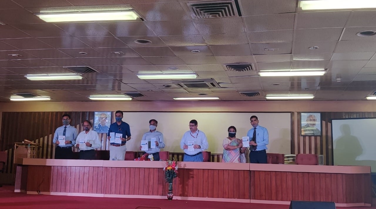
The Ministry of Science and Technology released three online applications that make government maps available to the public for the first time. The Survey of India (SOI) GEO Spatial Data Dissemination Portal, SOI’s Sarthi: WEB GIS Application, and the MANCHITRAN Enterprise Geoportal of National Atlas and Thematic Mapping Organisation (NATMO) were inaugurated.
According to a press release, the online portals are rich repositories of maps and functionalities, which will provide easy access and make the geospatial data generated out of public funds available to government and private users. Among others, the portals provide a range of digital maps, including digital geographical maps, railway and political maps, digital geographical road maps, digital geographical physical maps of India, and open series map scale.
The history of surveying and mapping and geospatial data has been very old in India. Dating back to about 254 years. Technology has changed now and expectations from digital data are vastly different from what they were 50 years ago. The new geospatial policy launched in February this year erased all the regulations on surveying and mapping. By liberalising and democratising the geospatial data, a direct impact of about IN1 trillion (US$13.4 billion) will be created by 2030 with a much bigger indirect impact on the economy, the Secretary of the Department of Science and Technology (DST) noted. With the launch of this online portal, users will no longer have to visit SOI offices. They can purchase and download products online, said Naveen Tomar, Surveyor General of India, SOI.
The release explained that Sarthi is a web geographical information system (GIS) application that utilises new advancements in web application development with tools like spatial data visualisation, manipulation, and analysis. It reduces the need to create custom applications and provides a platform to integrate GIS tools with other business systems. It enables cross-organisational collaboration in consonance with the new geospatial policy. It can be accessed in vernacular languages.
Tomar pointed out that Sarthi Web GIS will “bring GIS into the hands of the people and save time and resources” in data validation with audit trails. This will facilitate the survey of villages and mapping with improvised technology in village areas (SVAMITVA), a new initiative launched by the Ministry of Panchayati Raj.
MANCHITRAN, the enterprise geo-portal of NATMO is a leap forward in the arena of geo-spatial data sources, the release said. It will open a new dimension of extended services for the citizens, and the different building blocks of the MANCHITRAN will help students, researchers, industry, decision-makers, policymakers, and administrators. This geo-portal showcases the huge, authenticated, and valuable data that NATMO acquired over the past 65 years. Users can see, download, and give feedback about the maps, atlases, and different geo-spatial data layers. NATMO has developed this geoportal mostly with indigenous Make-in-India technologies and with minimum financial involvement.
Earlier this month, DST organised a United Nations World Geospatial Information Congress (UNWGIC) curtain raiser event with promises to strengthen the emerging national geospatial ecosystem. India is going to host the second UNWGIC in October 2022, at Hyderabad. The theme will be, “Towards Geo-enabling the Global Village.” According to the DST Secretary, stakeholders consuming the global physical resources need to adequately understand the availability, interrelation, and utilisation of physical resources, climate change, and disasters to make suitable and sustainable development strategies for increased resilience.


