


Indonesia’s President Joko Widodo has taken steps to accelerate the implementation of the One Map Policy since 2016.
According to a recent press release, One Map Policy aims to synchronise, integrate and compile geospatial information about each island.
OpenGov reported about the initiative in 2018. The One Map Policy Geoportal (KSP Geoportal) will serve as a point of reference for land use planning by all government institutions and the general public.
The one-map policy is expected to address the issue of overlapping land claims in the country.
Status of the initiative
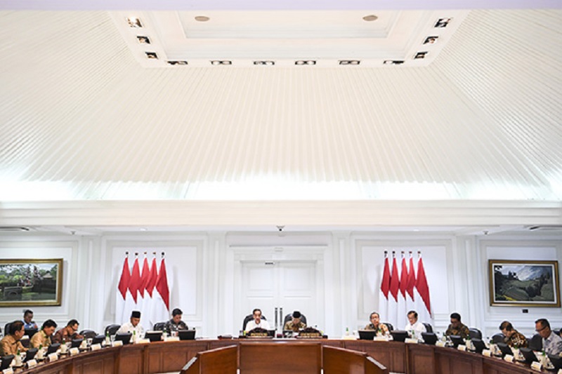
At a recent meeting discussing the project, President Jokowi shared that he had received reports that the One Map Policy acceleration team has succeeded in compiling 84 thematic maps from a target of 85.
As such, only one more thematic map related to administrative boundary maps is left to be completed. Their target completion is by December 2020.
After the final thematic map is completed, the compilation phase will be over and they can proceed with focusing more on identifying and resolving overlapping land issued.
The information produced from the One Map Policy will be stored in one geoportal and will be accessible to each local government. From there, they can use the spatial data available for decision-making.
The President encouraged ministries, institutions and regional governments to utilise this technology as it should be, a reference for spatial-based development planning.
This geoportal will serve as the sole basis for the formulation of policies. There should not be any other databases that will be used for the resolution of spatial-related issued in Indonesia.
During the identification process, they discovered that around 77.3 million hectares or 40.6% of the total area of Indonesia are overlapping.
The overlapping has given rise to land disputes, which became a problem in providing legal certainty for doing business in the country.
Other geospatial information initiatives
A Southeast Asian neighbour to Indonesia has utilised geospatial information for planning and mitigation on disasters and agriculture, among others.
The Remote Sensing and Data Science: DATOS Help Desk (DATOS Project) is the geospatial applications initiative of the Philippines’ Department of Science and Technology-Advanced Science and Technology Institute (DOST-ASTI).
It is funded by the Department of Science and Technology-Philippine Council for Industry, Energy, and Emerging Technology Research and Development (DOST-PCIEERD).
The DATOS project applies Artificial Intelligence (AI), machine learning, and other data science techniques to remotely sensed data.
It has developed a way to map out crops by using satellite images and by extracting the temporal signature of crops determined through radar satellite images.
Moreover, DATOS produces flood situation maps by retrieving satellite images and letting AI identify flooded areas from these imageries.
DATOS is able to detect floods in areas that are hit by heavy rainfall and sends these mapped out areas to the respective DOST regional offices in the event of severe weather disturbances.
Meanwhile, GeoWorks was launched in Singapore in 2018. It is an industry centre that promotes geospatial innovation and competencies.
It aims to connect businesses, entrepreneurs, and innovators to drive geospatial solutions for the promotion of business growth and opportunities in Singapore.
Geospatial information and technology has the potential to transform policy analysis, operations, and service delivery, accelerate the growth of industries and generate economic and social value for the country.
GeoWorks was set up by the Singapore Land Authority (SLA) in January 2018 as an initiative under the Singapore Geospatial Master Plan.
SLA and the Government Technology Agency of Singapore (GovTech) have jointly developed the Geospatial Master Plan, which sets out the vision, strategies and key initiatives to facilitate geospatial transformation and to pave the way towards a “Geospatial-Powered Singapore”.


