


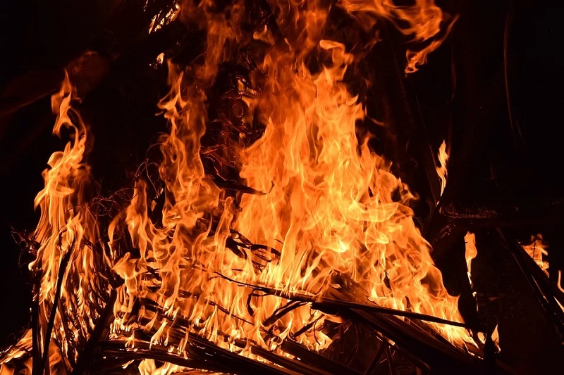
The response capability of Western Australia’s aerial firefighting fleet was boosted by a new Beechcraft Super King Airplane that has a sophisticated multispectral line scanner on board.
About the Initiative
According to a recent press release, the new aircraft is capable of reaching speeds of 450kmh and mapping multiple fires throughout Western Australia.
It can do so across a range of wavelengths including UV and thermal radiation.
The line scanner can conduct surveillance and mapping for fires, floods and marine incidents such as oil spills, and provide detailed images of emergencies with seconds delay only.
The images produced will help emergency service crews on the ground or in the air in order to quickly identify areas of concern and allocate resources where they are most needed.
Background
Previously, the line scanner was carried on board a Learjet plane through funding assistance from the Federal Government.
But since the Federal Government discontinued the funding this year, the State Government contracted a different plane and line scanner for 90 days instead.
The new plane complements the State’s existing aerial firefighting fleet, which consists of up to 34 rotary and fixed-wing suppression aircraft.
It is managed by the Department of Fire and Emergency Services and the Department of Biodiversity, Conservation and Attractions.
Emergency Services Minister Francis Logan explained that the emergency services are increasingly becoming more and more sophisticated with how they respond to incidents such as bushfires.
Benefits of Beechcraft Super King Airplane
The ability to map a fire across a wide range of wavelengths in order to provide information on hot spots, wind direction, fire shape and the terrain can make a significant difference in how crews respond to a fire and how best to try to keep personnel safe.
The aircraft will be able to provide the crews with more information quickly and efficiently.
Moreover, the aircraft can operate at night, unlike other aircraft in the fleet and is capable of accessing much of the State.
Aerial Vehicle Initiatives
Aerial monitoring and surveillance are more convenient if bigger land areas need to be covered. These are also useful for hard to reach places, which would usually take days to cover when done manually.
OpenGov Asia had reported on several initiatives.
Students from Indonesia’s Bandung Institute of Technology have gained recognition for winning first place at a recent Unmanned Aerial Vehicle Design Competition.
This is to address the growing need for increased disaster evacuations efforts in the country, especially since several disasters have recently occurred.
Indonesia has been bombarded with many disasters. Even worse, the evacuation process would sometimes be hampered, causing delays.
Aiming to improve the efficiency of disaster evacuation, the mission of the UAV included pathfinding evacuation, body searching, and live monitoring.
It utilises light detection and ranging (LIDAR), advanced positioning and thermal camera.
Meanwhile, the Philippines looks to drones to boost farming. Drones can improve on how seeds are planted, how fertilisers and pesticides are applied, and how crops are monitored.
Drones, through available software, allow farmers to monitor different aspects of rice farming like the growth rate, nutrient content and pest incidence.
Furthermore, drones could provide farmers with real-time information on the status of their crops like the height of the plants and the number of tillers.
This information could help them make immediate necessary adjustments to improve their productivity.
Some drones, such as drone sprayers, are also equipped with artificial intelligence (AI).


