


The Auckland Council has launched a smarter, more convenient way for New Zealand’s Aucklanders to report a property maintenance problem with community assets.
This includes council and Panuku facilities, beaches, reserves, parks and maunga(mountains).
According to a recent press release, the new online service has been developed as part of a larger digital transformation programme.
Benefits
The new service enables people to report a problem online. On top of that, the service also enables them to choose to track the progress of its resolution in three ways. These are:
- Text
- Email updates
- myAuckland
The online service saves customers time and cuts out the need for customers to call the contact centre in order to report property maintenance work and then check on the progress.
To report a problem via the new service, Aucklanders should go here.
About the Initiative
Auckland Council’s Head of Digital and Transformation Wendy Beban explained that they have streamlined and improved the process of how Aucklanders can report a property maintenance problem.
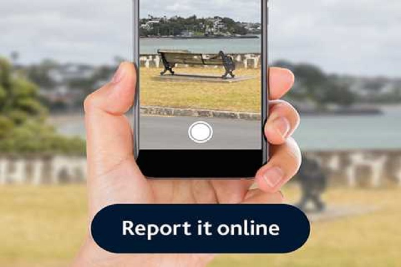
It has been designed to be used on mobile phones and gives the customer the opportunity to take a photo of the problem there and then.
Furthermore, the service also allows for the problem to get straight through to the contractor.
The Council have also listened to the public feedback, which showed Aucklanders have wanted the ability to report about a problem wherever they were and to be updated when the job was done.
The customer can now be updated through the service when their job is done.
Since the online service went live in December, customers have used it to raise 2700 problems or 25% of the total number.
The top three reported problems were tree maintenance, loose litter and plumbing maintenance.
Online Tools Across the Globe
Online portals make it so much more convenient for people, whether to report an issue, gather information, or track progress.
OpenGov Asia had reported on previous initiatives that did just that.
Researchers from the University of the Philippines, Diliman campus harnessed the power of satellite images to create an online community-based assessment tool to gauge the presence of blue carbon in coastal areas.
The Integrated Assessment and Modelling of Blue Carbon Ecosystems for Conservation and Adaptive Management (IAMBlueCECAM) program produced an accurate and detailed inventory of mangrove forests and seagrass habitats in selected pilot sites using remotely-sensed data and ground-based measurements as one of its major outputs.
Researchers have also developed a web tool that allows the public to contribute data on mangroves and seagrasses in the country.
The tool can produce different kinds of maps: the Mangroves Extent Map and the Mangrove Zonation Map.
Meanwhile, a real-time gross domestic product (GDP) tracker, believed to be the first of its kind in the world, has been launched by New Zealand’s Massey University.
GDPLive is an online portal that uses machine learning algorithms and the most up-to-date data possible, including live data sources.
It allows users to instantly see estimates of how the New Zealand economy is performing on a daily basis. Plus, it provides GDP forecasts.
This will aid in getting a sense of how the New Zealand economy is tracking in real-time.


