


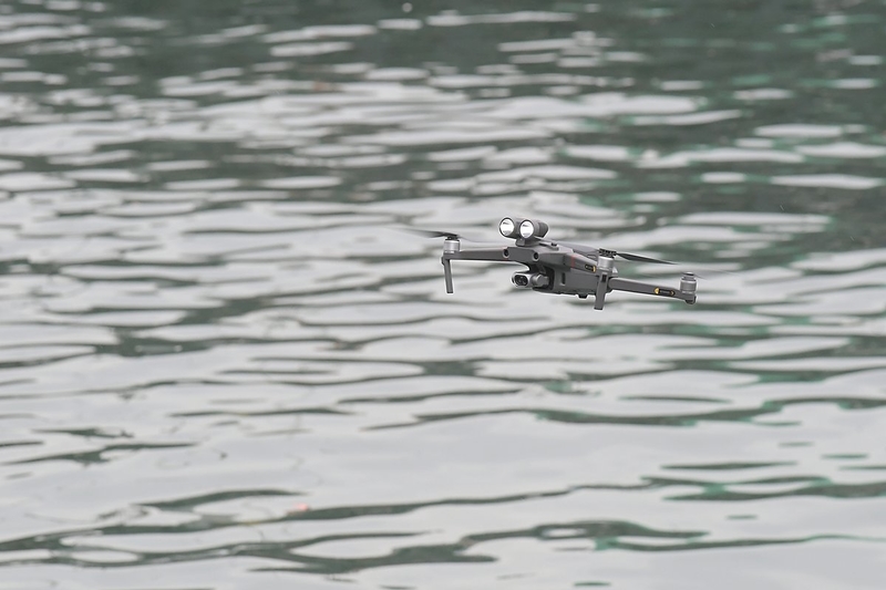
The Hong Kong Government is exploring the use of drones to fly into tight spaces underneath piers and perform safety inspections.
With the drone’s ability to take high-resolution images of pier substructures, there would be no need to construct scaffolding to provide safe access for inspectors.
The Civil Engineering & Development Department aims to conduct drone tests at 10 piers early next year. Moreover, the department’s Chief Engineer hopes that with the introduction of this new technology, they can also reduce the time, reduce the cost in erecting scaffolds to carry out inspections underneath the pile deck so that the team can also improve efficiency during inspections.
Drones to Perform Thorough Checks
The department maintains about 127km of seawalls and breakwaters and 318 piers and landing steps. Diving teams usually carry out inspections of these structures, but this can be time-consuming and be dependent on many factors.
This is usually affected by the adverse weather, the marine traffic conditions and also the tide level variations.
Since 2018, the department has deployed a suite of advanced surveying equipment to fulfil the increasing demand for inspections of marine structures.
These include the Multibeam Echo Sounder & Laser Scanner System, installed on a boat.
The system produces detailed three-dimensional data by transmitting sound waves underwater to measure seabed profiles and scanning terrestrial profiles with laser beams. An imaging sonar that produces digital images is also used.
Bolstering Storm Defence
In the space of just a couple of years, two super typhoons – Hato and Mangkhut – lashed Hong Kong, causing widespread damage.
To be better prepared to handle future typhoons and extreme weather conditions, the Civil Engineering & Development Department has introduced new survey technologies and carried out improvement works of marine facilities, an earlier press release notes.
The department now sends its survey vessel to inspect marine facilities like seawalls and breakwaters regularly.
New survey technologies have been installed onboard the vessel such as the Integrated Multibeam Echo Sounder & Laser Scanner System which can visualise data being captured in real-time from both above and below the waterline.
The Multibeam Echo Sounder works by transmitting a fan of sound pulses to measure the shape of a marine facility underwater, while the Laser Scanner System measures the terrain above water level.
A Land Surveyor from the Civil Engineering & Development Department stated that after combining the data set, the team was able to portray a clear 3D model of the marine facilities. By inspecting the 3D point cloud model, they were also able to determine if there is any significant defect in the marine facilities
The Imaging Sonar System is also deployed to gather images for underwater inspection. Its remote-controlled rotatable 2D sonar view can produce high-resolution images to identify damaged structures, so the department can arrange for follow-up action.
The Imaging Sonar System can see through the underwater conditions, even in zero visibility. It transmits an echo and then receives the return and turns it into a digital signal so that we are able to capture the high-resolution close-range video of the marine facilities.
The department introduced these new technologies after super typhoon Hato hit Hong Kong in 2017, to enhance the efficiency and effectiveness of underwater inspections of marine structures.
The technology was especially useful following the passage of super typhoon Mangkhut in 2018, after which the system was put to real use. The department carried out several emergency surveys to inspect the damaged seawalls to review the extent of the damage. This information is valuable for our engineers to propose remedial works afterward.
Thinking Ahead
The department is trying out new ways to respond to the emerging need for rapid safety assessments; new technologies add value to the department’s inspection works as they can redeploy resources into other detailed inspections. This allows teams to carry out more comprehensive inspections of marine structures.


