


The A$ 24.4 million commitment made by the NSW Government will soon allow emergency services, farmers and residents in western NSW to have access to real-time rain and wind information soon.
According to the recent press release, the commitment will construct and operate three new Doppler radars that will deliver real-time weather observations for 30% of the state.
The NSW Government is committed to investing in research and development to increase productivity and innovation in agriculture.
The project is developed as part of the Government’s Drought Strategy.
The Doppler radars will be installed near Parkes, Brewarrina and Hillston-Ivanhoe and are targeted to be operational by 2022.
What can Doppler radars do?
The A$ 24.4 million investment will give farmers instant access to accurate information allowing them to make quick, critical choices and adapt plans to boost productivity, minimise risk and save money.
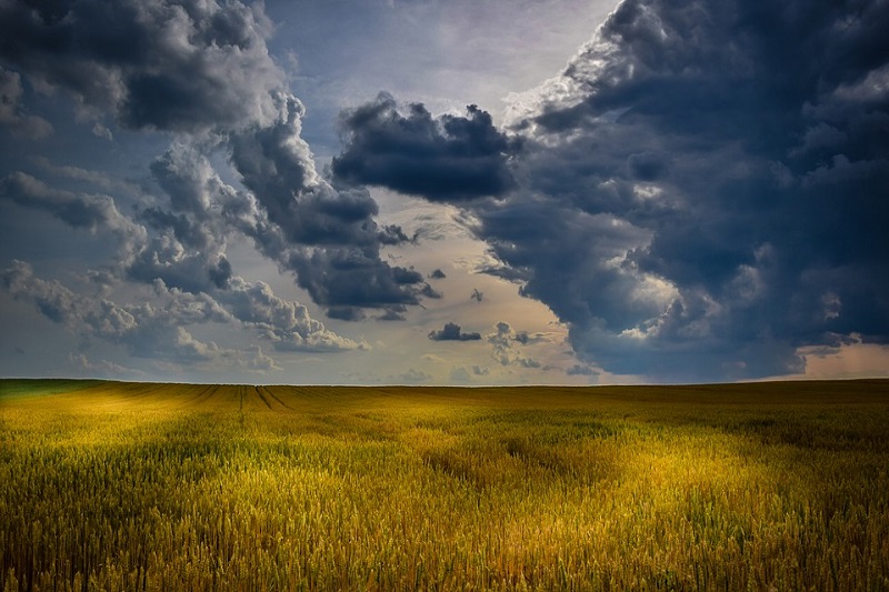
These radars are capable of measuring the direction and speed of rain and moisture in the atmosphere up to a distance of 200 kilometres away.
Deputy Premier and Minister for Regional NSW John Barilaro said the radars will deliver real-time weather information for 170,000 residents across 34 local government areas in western NSW.
The Doppler radars will cover 321,000 kilometres, providing real-time wind and rain activity information, which the western NSW farmers and graziers need for decision-making.
This will help them plan when they will sow, harvest or move stock.
Farmers are not the only ones benefiting from the construction of these radars.
According to Minister for Primary Industries Niall Blair, Doppler radar coverage will also help emergency services to better anticipate and respond to fires and flooding.
It will aid them as they anticipate areas that will likely suffer impacts and ensure resources are in place to respond.
Moreover, Doppler radar data will give residents and businesses vital information in the face of such natural disasters.
Installing Doppler radars is beneficial because they provide:
- Accurate rainfall forecasts, accumulated rainfall record and stored soil moisture levels
This information is useful for producers who need to make informed decisions about the proper time to plant or harvest crops.
- The ability to track the location and strength of wind changes
Benefiting from this information are the aviation, the detection of plague locust migrations, firefighting and other emergency services.
- Accurate rainfall rates
Emergency services will find this information useful during flood warning operations.
Drought Strategy project
Another project that is also included in the Government’s Drought Strategy is the Enhanced network of weather stations across NSW.
A$ 2.5 million will be used to work with the Bureau of Meteorology to boost the network of weather stations in NSW.
Weather stations have been installed and are operational across NSW to enhance the weather information available.


