


Strategically investing in collecting “good data” will help improve the welfare of Asian farmers as agriculture is the main source of income for most of Asia’s poor who are living in rural areas.
According to the report released, enhanced agricultural productivity will go a long way toward reducing rural poverty and boosting incomes of small-scale farmers.
In order to achieve this, major investments in new types of data collection are essential.
Administrative reporting systems or surveys, which are the traditional methods of data collection, are costly. Plus, they are prone to measurement errors.
The power of technology can be employed by more innovative methods in order to save on costs. Moreover, it will deliver the information into the hands of both policymakers and farmers in a timely manner.
The Key Indicators for Asia and the Pacific 2018 Special Supplement report by the Asian Development Bank includes new research demonstrating how technological innovations can improve the quality, timeliness, and granularity of agricultural statistics, while reducing overall collection costs.
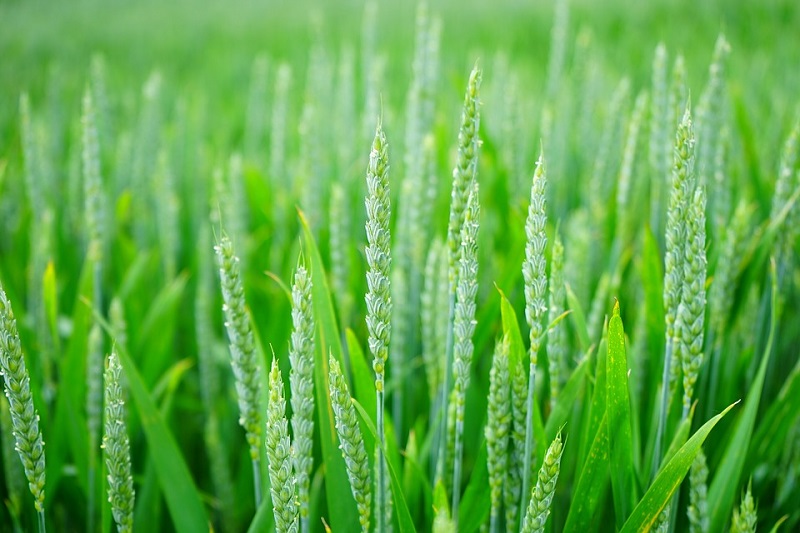
The outcomes from two methodological studies have revealed the usefulness and practicality of remote sensing technology in land measurement and yield estimation.
The data gathered will form the basis for numerous policies on resource allocation, subsidies, volume of trade, and food prices.
A third study provides agriculture ministries a more reliable sampling frame, which guarantees that no one is left behind, particularly the small-scale farmers who are more likely to be eliminated by outdated population registers or censuses.
The studies were implemented in collaboration with National Statistics Offices and Ministries of Agriculture in three pilot countries namely Lao People’s Democratic Republic, Thailand, and Viet Nam.
The first study centres on the use of Google Earth images for plot area measurement through digital tracing, which was compared to the current gold standard for area measurement, the GPS-based plot area measurement.
Inaccurate estimation of land, a key measure of absolute and relative farmer wealth, would lead to inappropriate welfare measures that weaken policies targeting subsistence farmers.
Although results from the GPS-derived estimates were statistically similar to estimates from Google Earth images, the latter costs 38% less.
With conducting an area survey being an expensive process, any means of cost reduction is welcome so that the savings could be reallocated to other policy actions.
The second study develops a method for estimating crop yields from space, based on the idea that satellite data can help create crop growth models and improve yield estimates.
An innovative data fusion technique was employed in Thai Binh province, Viet Nam, to achieve this. Two freely available sources of satellite data were combined to come up with a fused product with enhanced spatial and temporal resolution.
Better data on crop yields can help policymakers identify hot spots of high and low productivity so resources can be targeted to address the gaps.
A third study explores the utility of land-use maps developed from satellite data in constructing an agricultural sampling frame.
Sampling frames are traditionally based on a census, which may be an outdated, incomplete and non-representative method.
The advantage of using a satellite-derived sampling frame is that it eliminates under-coverage stemming from an outdated population-based frame.
Other emerging technological innovations that have potential for agricultural statistics were also mentioned in the report.
First would be the drones, which are capable of collecting much higher resolution images down to the crop level relatively quickly, providing substantially new information to improve crop yield estimation and risk assessment.
Second is the tablet-based data collection that can convert administrative and survey data quality through improved data validation and management.
Third would be artificial intelligence (AI), which will be a game-changer for agricultural statistics.
With AI, different sources of real-time information can be fed into a machine learning algorithm so that real-time data on critical variables may be obtained.
Technology can address numerous gaps in agricultural statistics. The ultimate objective is for both emerging and existing technologies to complement each other to bolster agricultural data quality.
Doing so will facilitate a policy environment that helps farmers increase productivity and wages, which will ultimately contribute to poverty reduction.


