


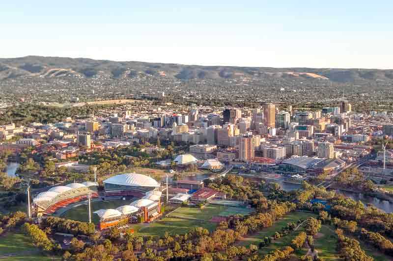
The State Government of South Australia is creating a digital 3D model of the Adelaide CBD and surrounding suburbs which will assist in planning, in relation to growth scenarios and land use planning and help enhance the vibrancy and liveability of the city.
The AU$2 million model, funded within the 2017/18 State Budget, will be a 3D interactive replica of the city’s inner ring and extending west to the coast.
The 3D model will be highly accurate and allow suburb level, precinct level and individual site level review of planning strategy and property development.
The technology will be accessible online. It will allow the community to better visualise and engage with proposed developments. The model will also be of value to state and local government in the development assessment process.
The first phase of the project involves the mapping of the CBD and key development corridors, which is expected to be completed during this financial year. Over the following two years the mapping base will extend to the inner ring of Adelaide and west to the coast.
This will support the 30-Year Plan for Greater Adelaide. The Plan, prepared in 2010, calls for an increased urban density from 15-25 dwellings per hectare to 35 dwellings per hectare in dedicated growth corridors including the City of Adelaide. Achieving higher urban density is dependent upon development becoming more compact, with taller buildings and an emphasis on high quality design. The 3D model can assist in the planning required to successfully accomplish this.
Traditionally developments have been planned and assessed with two-dimensional plans, and engagement with the public has relied on “artist impressions” to visualise the impact.
Planning Minister John Rau said, “3D modelling is used around the world with great success and will allow the public to visualise a proposal and how it will fit with the existing streetscape.”
For instance, the Singapore Land Authority (SLA) has been carrying out a National 3D Mapping Project since 2014 to create a dynamic 3D city model and collaborative data platform, as part of the Smart Nation initiative. Last year, the first stage was revealed. Recently, the SLA unveiled the Singapore Advanced Map (SAM) that integrates 2D maps and 3D models.
Featured image: Normangerman/ CC BY-SA 3.0


